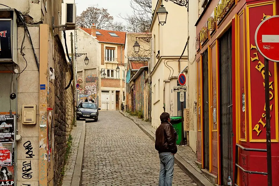
About Cité Aubry
The Cité Aubry is a small street in Paris's 20th arrondissement that runs from the Rue de Bagnolet to the Villa Riberolle. It is named after the former owner of the land. In the 17th and 18th centuries, the area was part of the Ferme des Bauges, a sprawling complex of farmyards, barns, and fields that stretched between the Boulevard de Charonne and the Rue de Bagnolet. Today the street runs across land that once belonged to the dependencies of the Château de Charonne. Since 1991, it has been officially part of the city's street network. Here you can get a quiet glimpse into the history of this neighborhood, which was once rural in character.
At a glance
- Category
- Sight › Historic sites
- Rating
- no reviews yet · write a review
- Address
- —
Paris, France - District
- Quartier du Père-Lachaise
- Phone
- —
- Website
- lejardindelacite.jimdo.com
- —
- Coordinates
- 48.85750° N · 2.39630° E
- Data quality
- confidence 0.83
- Identifier
- ID 1786aee2-d88…
Location & surroundings
Toggle layersRatings & comments
none yetNear Cité Aubry
closest 5 per category · 2 kmMuseums
More:Historic sites in Paris (1,524)Sights in Quartier du Père-Lachaise (35)All sights in Paris (1,859)
261 places within 2 km loaded.



You need a free account to leave reviews and photos – that keeps comments genuine and lets you edit them later.