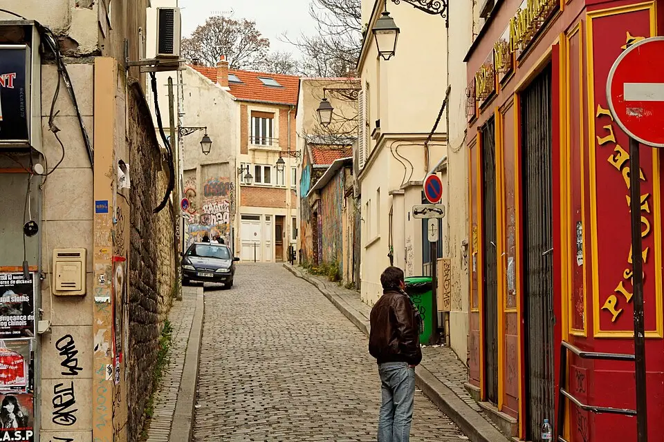
About Cité Aubry
The Cité Aubry is a small street in Paris's 20th arrondissement that runs from No. 15 Rue de Bagnolet to the Villa Riberolle. It takes its name from the former owner of the land on which it was laid out. Historically, this site was home to the Ferme des Bauges in the 17th and 18th centuries, a sprawling agricultural complex with farmyards, barns, and fields that belonged to the old dependencies of the Château de Charonne. The street was not officially added to the city's street network until 1991, and today it recalls this rural past in the heart of the urban fabric.
Based on the article “Cité Aubry” from the French Wikipedia, summarized and rephrased by a language modelLicense CC BY-SA 4.0
At a glance
- Category
- Sight › Historic sites
- Rating
- no reviews yet · write a review
- Address
- —
Paris, France - District
- Quartier du Père-Lachaise
- Phone
- —
- Website
- lejardindelacite.jimdo.com
- —
- Coordinates
- 48.85749° N · 2.39648° E
- Data quality
- confidence 0.83
- Identifier
- ID c8672982-583…
Location & surroundings
Toggle layersRatings & comments
none yetNear Cité Aubry
closest 5 per category · 2 kmMuseums
More:Historic sites in Paris (1,524)Sights in Quartier du Père-Lachaise (35)All sights in Paris (1,859)
261 places within 2 km loaded.



You need a free account to leave reviews and photos – that keeps comments genuine and lets you edit them later.