About Testaccio
Testaccio, Rome's twentieth district, lies southwest of the historic center and is defined by its location on the Tiber and its proximity to the Aventine Hill. The neighborhood takes its name from Monte Testaccio, an artificial hill that served as a dump for broken amphorae in antiquity. This mound of shards came about because the clay jars unloaded at the nearby port from the Roman provinces could not be cleaned and reused once emptied. Over the centuries, the broken vessels were piled up here in an orderly fashion, creating a distinctive rise that still dominates the cityscape today and gave the district its name.
The history of the area goes back to the early Republic. When the old Tiber port at the Forum Boarium became too small, it was moved downstream in the second century B.C. to the site of present-day Testaccio. Here arose the Emporium, a large port complex accompanied by a warehouse nearly 500 meters long, the Porticus Aemilia. Remains of these ancient structures can still be seen today on Via Rubattino and Via Benjamin Franklin. The port was used not only for trading foodstuffs such as grain, oil, and wine, but was also central to supplying the city with building materials. After the decline of Rome in the sixth century, the facilities fell into ruin, and the area came to be known as Ripe et Marmorate, a reference to the former marble storage yards along the riverbank.
In the Middle Ages and the early modern period, the area developed into a mix of pastureland and cultural gathering place. The Prati di Testaccio, large open fields south of today's Via Galvani, were the setting for the famous games of the Roman Carnival. Athletic contests, horse races, and even animal fights took place here, attended by the pope and high dignitaries. This tradition gradually came to an end when the races were moved to the Via del Corso in the fifteenth century. Monte Testaccio itself was interpreted in the Christian faith as Golgotha and was the destination of processions during Holy Week. A cross at the highest point of the hill commemorates this tradition, although the current cross dates from 1914. In the seventeenth century, caves were also dug into the hill to store wine, which led to the emergence of numerous taverns and country inns.
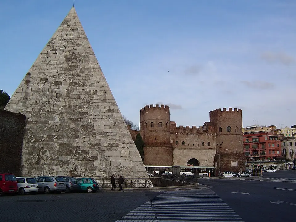
Another historical highlight is the Pyramid of Cestius, the tomb of the tribune of the people Gaius Cestius Epulo, built around the turn of the era. When the Aurelian Wall was constructed in the third century A.D., the monument was incorporated into the city wall. Because non-Catholics were not permitted to be buried in Rome's consecrated cemeteries, a burial ground for Protestants and other denominations developed from 1716 on at the city wall near the pyramid. The Cimitero acattolico, officially designated in 1821 and still in existence today, bears witness to this multi-denominational history and was expanded to its present size in 1894.
The modern development of Testaccio began with the unification of Italy and the naming of Rome as its capital. The first land-use plan of 1873 envisioned industry and workers' housing for the flat area on the Tiber, which had good transport connections. Despite resistance from local landowners, especially the Torlonia family, the plan was confirmed in 1883. Construction began with high-density housing blocks, which, however, were only partly completed because of a real estate crisis. The apartments were small, poorly equipped, and badly maintained, resulting in disastrous living conditions. Infant mortality was extremely high, and basic infrastructure such as schools and medical care was lacking.
Despite these difficult beginnings, the situation began to improve under the Giolitti government from 1903 on. With the founding of the state institute for social housing, modern housing was built in Testaccio. Architects such as Giulio Magni designed new blocks that were better ventilated and equipped with communal facilities such as baths and laundry houses. At the same time, the city's infrastructure was expanded, including schools and kindergartens. An important milestone was the creation of Piazza Testaccio as a marketplace in 1905, which became the social center of the neighborhood. The church of Santa Maria Liberatrice, built between 1906 and 1908, underscored the district's growing importance.
A defining element of the local economy was the large slaughterhouse, built between 1888 and 1891. This complex, which also included a livestock market, replaced the old slaughterhouse on the Tiber bank and was essential for supplying the growing city with meat. Its operation led to heavy industrialization of the area, which also brought social tensions. Only after World War I and through targeted urban planning measures could the neighborhood consolidate. The construction of the Ponte Sublicio in 1917 improved the connection to Trastevere and strengthened the district's integration into the urban fabric.
In the twentieth century, Testaccio underwent further architectural and social changes. In the 1920s and 1930s, the gaps along Via Marmorata were filled in, including the monumental "Cremlino" building and modern housing blocks for a wealthier class of residents. The Palazzo delle Poste, a masterpiece of Italian Rationalism, was also built during this period. After World War II, the industrial facilities on the Tiber lost their importance. The slaughterhouse closed in 1975, and the site gradually transformed into a cultural center. Today, the former industrial buildings house institutions such as the Faculty of Architecture of Roma Tre University and the MACRO museum of contemporary art.
Today, Testaccio is a lively district that combines its industrial and social past with modern culture. The new municipal market, which opened in 2012, and the redesign of Piazza Testaccio with the Amphora Fountain as its landmark reflect the transformation of the district. Here you can experience the traces of the ancient port city, the history of the working-class quarter, and today's cultural scene. Monte Testaccio remains the symbolic heart of the neighborhood, a silent witness to Roman history that recalls the economic importance of the port and the hard work of the people who lived and worked here over millennia.
At a glance
- Category
- Sight › Historic sites
- Rating
- no reviews yet · write a review
- Address
- Via di Monte Testaccio
00153 Rome, Italy - District
- Testaccio
- Phone
- —
- Website
- www.romainweb.com
- —
- Coordinates
- 41.87516° N · 12.47488° E
- Data quality
- confidence 0.82
- Identifier
- ID ec906265-582…
Location & surroundings
Toggle layersRatings & comments
none yetNear Testaccio
closest 5 per category · 2 kmSights
Restaurants
Museums
Hotels
More:Historic sites in Rome (1,014)All sights in Rome (1,312)
283 places within 2 km loaded.
Don't miss in Rome
All sights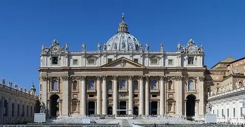 Historic sites01
The Dome at San Pietro Basilica
No address · Rome○ Website○ Phone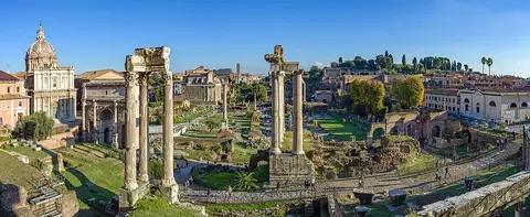 Historic sites02
Roman Forum
Via della Salara Vecchia, 5/6 · Rome● Website● Phone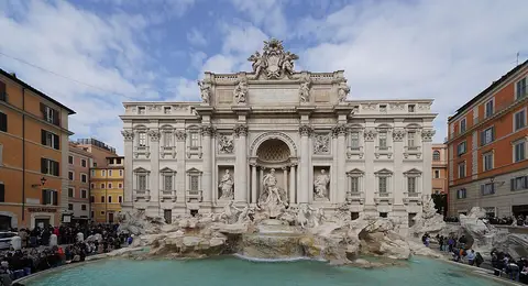 Historic sites03
Restauro Fontana di Trevi
Piazza di Trevi, 91 · Rome● Website○ Phone Monuments04
You need a free account to leave reviews and photos – that keeps comments genuine and lets you edit them later.