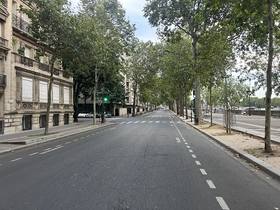
About Port Henri IV
The Quai Henri IV runs along the banks of the Seine in Paris's 4th arrondissement, forming the road above the Port Henri IV landing stage. This one-way street begins at the end of the Quai des Célestins near the Pont de Sully and continues to the canal that connects the Bassin de l'Arsenal with the Seine. The area was developed on the former site of the Île Louviers. The quay received its name through a royal decree of August 5, 1844, in honor of Henri IV, King of France and Navarre. Here you can enjoy a quiet walk along the water and explore the historic buildings and structures along the riverbank.
Based on the article “Quai Henri IV” from the German Wikipedia, summarized and rephrased by a language modelLicense CC BY-SA 4.0
At a glance
- Category
- Sight › Historic sites
- Rating
- no reviews yet · write a review
- Address
- Quai Henri IV
75004 Paris, France - District
- Quartier Les Îles
- Phone
- —
- Website
- —
- —
- Coordinates
- 48.84708° N · 2.36452° E
- Data quality
- confidence 0.71
- Identifier
- ID 658fcf83-d06…
Location & surroundings
Toggle layersRatings & comments
none yetNear Port Henri IV
closest 5 per category · 2 kmSights
Museums
Hotels
More:Historic sites in Paris (1,524)All sights in Paris (1,859)
300 places within 2 km loaded.



You need a free account to leave reviews and photos – that keeps comments genuine and lets you edit them later.