
Chiapas: Maya Cities, Highlands, and Rainforest
Travel guide · editorialChiapas is southern Mexico at its most authentic: mist-shrouded mountains, Tsotsil and Tseltal villages, rainforests full of howler monkeys, and Maya temples rising out of the greenery. A vacation in Chiapas combines Palenque, the colonial city of San Cristóbal de las Casas, and the deep Sumidero Canyon into one of the most impressive road trips in the country.
Mountains, Valleys, and the Pacific Coast
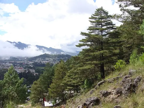
Chiapas borders Guatemala to the east and south and stretches from the Pacific to the edge of the Yucatán Peninsula. Along the coast, the Soconusco plain is covered with coffee, cocoa, and banana plantations, and above it rises the Sierra Madre de Chiapas with the Tacaná Volcano. The Grijalva Valley lies at the center, while the Los Altos highlands, with pine forests at over 2,000 meters (6,500 feet), rise above it. To the east lies the Selva Lacandona, one of the largest remaining rainforests in Mexico. The many elevation zones create enormous biodiversity, from quetzals to jaguars.
Cities and Towns
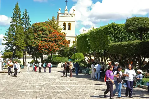
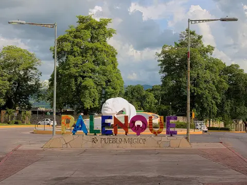
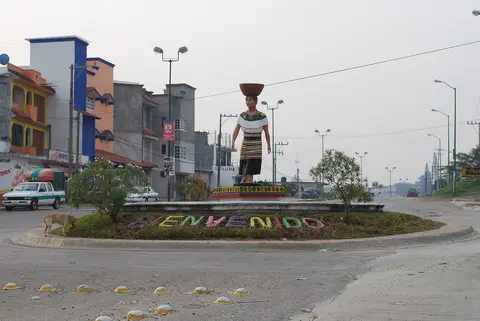
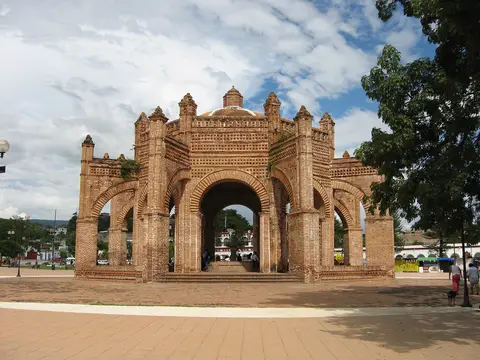
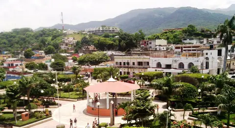
Tuxtla Gutiérrez, the capital, is a modern, rather plain city, but a good base. Its zoo, ZooMAT, shows only animals native to Chiapas. Right next door is Chiapa de Corzo, a Pueblo Mágico with a Moorish-inspired fountain from the 16th century and boat docks for the canyon. San Cristóbal de las Casas in the highlands is the heart of tourism: colorful houses, cobblestone streets, markets, cafés, and churches such as Santo Domingo with its Baroque facade. Comitán, quieter and smaller, is the gateway to the Lagunas de Montebello. Tapachula on the Pacific side is a trading center near the Guatemalan border, and Ocosingo is a market town between the highlands and the rainforest. The town of Palenque lives mainly off the ruins of the same name.
Sights in Chiapas
The ruins of Palenque are among the most beautiful in the Maya world. In the Temple of the Inscriptions, the tomb of the ruler Pakal was discovered in 1952. Farther into the rainforest lie Yaxchilán on the Usumacinta River, reachable only by boat, and Bonampak with its murals. The Sumidero Canyon near Chiapa de Corzo is a gorge with walls up to about 1,000 meters (3,300 feet) high, best experienced on a boat tour. The waterfalls of Agua Azul and Misol-Ha lie along the road to Palenque, and the Lagunas de Montebello shimmer in various shades of blue. Near San Cristóbal, the villages of San Juan Chamula and Zinacantán offer a glimpse of indigenous ways of life: in the church at Chamula, pine needles cover the floor, and healers pray with candles and eggs.
Culture and History
More than a quarter of the population speaks an indigenous language, most commonly Tsotsil and Tseltal. The textile art of the highland villages, woven on backstrap looms, is distinct in every village. Until 1824, Chiapas belonged to the Captaincy General of Guatemala before joining Mexico. In 1994, the Zapatista uprising drew worldwide attention to the poverty of the indigenous population. In Chiapa de Corzo, the Fiesta Grande takes place in January with the Parachicos, dancers in wooden masks, a UNESCO intangible cultural heritage.
Food and Drink
Chiapas is one of Mexico's most important coffee regions, and cocoa also has a long tradition here; pozol, a drink made from corn and cocoa, is served cold. Tamales come in many varieties, such as with chipilín herb. Cochito horneado, baked pork with spices, and sopa de pan are typical festive dishes. Comitán is known for comiteco, an agave spirit. In the markets of San Cristóbal, you'll find ámbar, amber from Simojovel, and cheese from the highlands.
Getting There and Best Time to Visit
Ángel Albino Corzo Airport (TGZ) is about an hour from San Cristóbal; Palenque is now also served by the Tren Maya and has its own airport. Long-distance buses connect the main towns. The best time to visit is the dry season from November to April; nights in the highlands are cold then. From May to October it rains a lot, but the waterfalls are at their fullest. In border regions and some rural areas, the security situation has worsened; roadblocks do occur, so you should check current conditions before overland trips.