About Aranyhegyi-patak
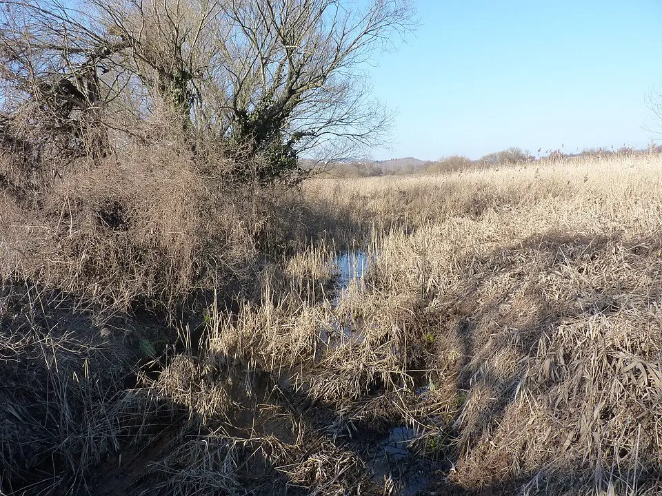
The Aranyhegyi-patak is the most important stream on the western side of Budapest. It rises in the Pilis Mountains and flows 23 kilometers (about 14 miles) before emptying into the Danube. It is fed by several headwater brooks, including the Szántói-, Háziréti- and Rétvölgyi-patak, and runs through the Solymár Valley, which separates the Buda Hills from the Pilis range. The catchment area covers roughly 120 square kilometers and stretches across the valleys of Pilisvörösvár, Pilisszántó and Pesthidegkút. The region's geology, shaped by dolomitic and limestone rock as well as permeable sandstone, has a considerable influence on the flow of water. The stream originally ran in a natural bed that repeatedly flooded the adjoining neighborhoods. To prevent this, the channel was regulated between 1919 and 1921 and diverted toward the Római-patak, and today it meets the Danube near the new subway bridge.
The stream's water quality has fluctuated sharply over the decades. While it was still considered clean in the 1950s, increasing development along its banks and inadequate sewer construction led to heavy pollution in the following decades. In the 1980s in particular, when large housing estates went up, local residents mockingly called the stream the "Büdös-patak" ("Stinky Creek") because of the smell. The situation improved markedly, however, with the construction of modern wastewater treatment plants in the 1990s and the connection of the surrounding communities to the sewer network. Today, wastewater is treated mechanically, biologically and chemically before it is discharged into the stream, which has led to a noticeable improvement in water quality.
Despite these improvements, the Aranyhegyi-patak remains a dynamic waterway with strong seasonal swings. During snowmelt or heavy summer thunderstorms, the water level can rise quickly and cause serious flooding. Ecological diversity is limited within the urban area, as the stream is home mainly to pollution-tolerant species such as certain insect larvae and annelid worms. Near the mouth at the Danube, however, the shallow, gravel-covered stretch serves as an important spawning ground for various fish species, including pike, carp and bream. For visitors, the stream, especially in its more rural sections, offers a glimpse of the natural landscape between the hills, while the urban stretches of bank bear the stamp of the history of river regulation and city development.
At a glance
- Category
- Sight › Historic sites
- Rating
- no reviews yet · write a review
- Address
- —
Budapest, Hungary - Phone
- —
- Website
- —
- —
- Coordinates
- 47.56667° N · 19.05000° E
- Data quality
- confidence 0.81
- Identifier
- ID c89e48dc-906…
Location & surroundings
Toggle layersRatings & comments
none yetNear Aranyhegyi-patak
closest 5 per category · 2 kmSights
Restaurants
Hotels
Cocktail bars
None within 2 km.
More:Historic sites in Budapest (767)All sights in Budapest (876)
86 places within 2 km loaded.



You need a free account to leave reviews and photos – that keeps comments genuine and lets you edit them later.