

Chihuahua: Copper Canyon, Desert, and Mennonites
Travel guide · editorialChihuahua is Mexico's largest state, a land of wide-open spaces with deserts, prairies, and the deep gorges of the Sierra Tarahumara. A trip to Chihuahua means riding one of the world's great train journeys, meeting the Rarámuri, and visiting a capital where Pancho Villa is still very much present.
Desert and Canyon Country
The eastern half of the state belongs to the Chihuahuan Desert, the largest desert in North America, with creosote bushes, yuccas, and salt lakes. In the west, the Sierra Madre Occidental climbs to over 3,000 meters (about 9,800 feet), and here rivers have carved a system of canyons known collectively as the Barranca del Cobre, or Copper Canyon. Several of these canyons are deeper than the Grand Canyon in Arizona. In between lie high plateaus with apple orchards and wheat fields. The climate is continental: the desert gets very hot in summer, while the mountains can see snow in winter.
Cities Between the Border and the Sierra
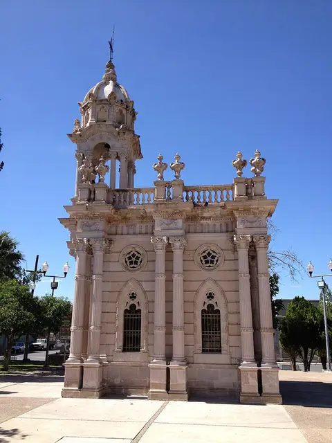
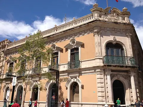
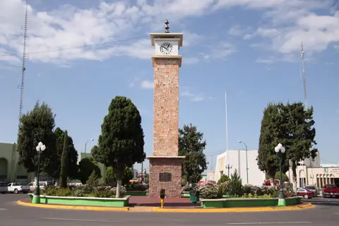
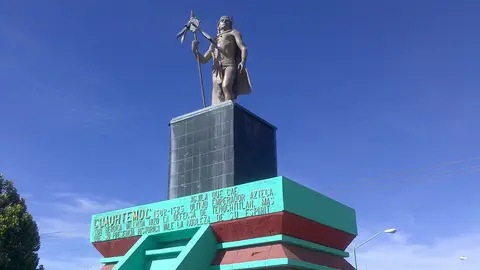
Ciudad Juárez on the Río Bravo is the largest city and forms a cross-border metropolis with El Paso, Texas. Its economy is built on assembly plants for electronics and auto parts. The state capital, Chihuahua, lies in the middle of the state; its baroque cathedral of pink stone and the Government Palace, with murals depicting the region's history, define the center. Delicias is an agricultural town with pecan and chili plantations. Hidalgo del Parral in the south was a wealthy mining town; this is where Pancho Villa was shot in 1923. Cuauhtémoc is the center of the Mennonite community, who began settling here in the 1920s. Smaller settlements such as Colonia Papalote and Granja las Torres lie in the countryside around the cities.
Sights in Chihuahua
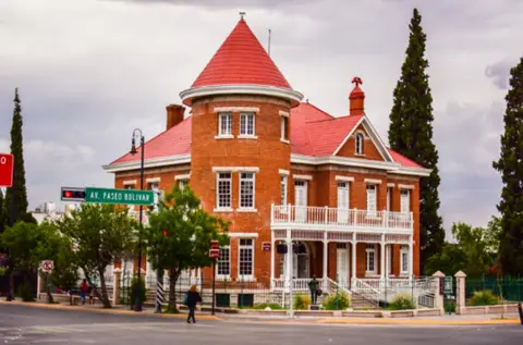
The Chepe, the Chihuahua–Pacífico railway, runs from Chihuahua via Creel and Divisadero to Los Mochis in Sinaloa. The route crosses dozens of bridges and passes through numerous tunnels. At Divisadero, the view opens onto three canyons at once; the Parque de Aventura Barrancas del Cobre offers a long cable car and ziplines over the abyss. Creel is the starting point for excursions to Lake Arareko, rock formations, and the Cusárare waterfall. Batopilas, deep down in a canyon, is an old silver town with a tropical climate. Cascada de Basaseachi National Park contains one of Mexico's tallest waterfalls. In the northwest, the adobe structures of Paquimé near Casas Grandes, a pre-Hispanic trading city, are a World Heritage Site. In the capital, the Museo Casa de Villa honors the revolutionary; on display is even the bullet-riddled car in which he was assassinated in Parral. The building was formerly his home.
Culture and People
The Rarámuri, also called the Tarahumara, live scattered across the Sierra and are known worldwide for their long-distance running, traditionally done in sandals. Their festivals, with dances and corn beer known as tesgüino, follow the Catholic calendar but have pre-Hispanic roots. The Mennonites around Cuauhtémoc speak Plautdietsch, run dairy farms, and have their own cheese-making tradition. Pancho Villa and the Revolution of 1910 are an integral part of regional identity.
Food and Drink
Chihuahua is cattle country; steaks, carne asada, and machaca are eaten with flour tortillas. Burritos originated here, especially in Ciudad Juárez. Queso menonita, a mild Mennonite cheese, melts into chile con queso, a dish of chilies and cheese. Discada, meat fried in an old plow disc, is a communal meal. Sotol, a spirit made from a desert plant, is the signature drink. Apples from the Cuauhtémoc region are famous throughout the country.
Getting There and Best Time to Visit
There are airports in Chihuahua (CUU) and Ciudad Juárez (CJS). The Chepe runs in several variations; if you want to stay overnight in Creel or Divisadero, plan on several days. Spring and fall are considered the best times to visit: March through May is dry and mild, and September through November is green after the rains. In winter, temperatures in the Sierra can drop below freezing. The security situation varies greatly by region; rural areas and border cities in particular are subject to travel advisories, while the Chepe route is usually traveled without problems.