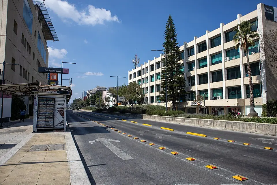
About Chapultepec 332
Avenida Chapultepec is one of the most important and best-known arteries in Mexico City, linking the city center with western districts such as Polanco, Tacubaya, and Chapultepec Park. The boulevard takes its name from the Nahuatl word Chapultepec, which roughly means "hill of the grasshoppers." The route's historical significance dates back to pre-Hispanic times, when Moctezuma I had an impressive aqueduct built to supply the Aztec capital with water from the springs at the foot of Chapultepec Hill. This feat of engineering was improved over the course of the colonial period and rebuilt in the 18th century with more than nine hundred arches. When the aqueduct later fell out of use, the city planners of the Porfiriato took advantage of the existing route to create a modern boulevard connecting the growing residential neighborhoods in the west of the city with the center.
Today, Avenida Chapultepec shapes the cityscape with a mix of historic architecture and modern infrastructure. During the widening of the road in the 20th century, parts of the old aqueduct were torn down, but twenty arches survive in the central median near the Sevilla metro station. A striking landmark is the Glorieta de los Insurgentes, where you will also find a replica of the historic fountain. Along the route, you can discover numerous sights, including the Ciudadela, which now serves as the national library, and the Conjunto Mascota, one of the city's first apartment buildings. Between the intersections with Avenida Bucareli and Avenida de los Insurgentes, historic villas and mansions from the 19th century line the street.
The avenue also links two lively neighborhoods: on one side lies Colonia Roma, on the other the Zona Rosa, a well-known center for dining and culture. Although there were plans to convert the stretch between the Chapultepec and Insurgentes metro stations into a cultural corridor with pedestrian bridges and commercial space, the project was rejected in a public vote. Even so, Avenida Chapultepec remains a central place where you can experience the city's history, from the Aztec water supply to modern urbanization, and it continues to shape daily life in Mexico City.
At a glance
- Category
- Sight › Historic sites
- Rating
- no reviews yet · write a review
- Address
- Avenida Chapultepec 360
06700 Mexico City, Mexico - District
- Roma Norte
- Phone
- —
- Website
- —
- —
- Coordinates
- 19.42237° N · -99.16483° E
- Data quality
- confidence 0.71
- Identifier
- ID 7394940d-131…
Location & surroundings
Toggle layersRatings & comments
none yetNear Chapultepec 332
closest 5 per category · 2 kmSights
Museums
Hotels
More:Historic sites in Mexico City (2,578)Sights in Roma Norte (57)All sights in Mexico City (2,702)
300 places within 2 km loaded.
Don't miss in Mexico City
All sights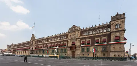 Historic sites01
Palacio Nacional
Avenida Pino Suarez · Mexico City● Website● Phone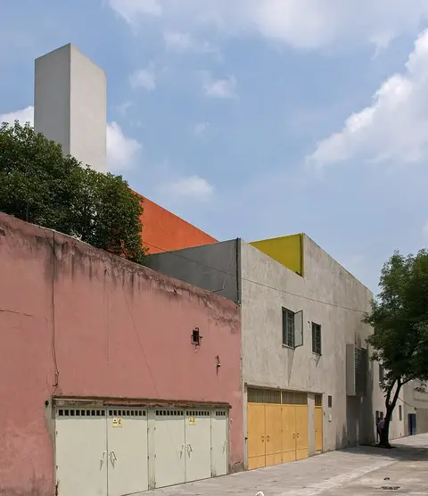 Historic sites02
Casa Estudio Luis Barragán
Gral. Francisco Ramírez 12 · Mexico City● Website● Phone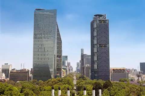 Historic sites03
Av. Paseo de Reforma
Av. P.º de la Reforma 25 · Mexico City○ Website● Phone Monuments04
You need a free account to leave reviews and photos – that keeps comments genuine and lets you edit them later.