Discovering Ciudad Obregón: Wheat, Yaqui, and Grilled Beef
Travel guide · editorialGolden wheat fields stretching to the horizon, a lagoon in the middle of the city, and beef fresh off the grill: Ciudad Obregón is the hub of the Yaqui Valley (Valle del Yaqui) in southern Sonora. On a trip through the Northwest, this young agricultural city is more of a stopover than a destination, but it tells you a lot about the Green Revolution and Yaqui culture.
A City of the Green Revolution
The settlement began in the early 20th century as a railroad station called Cajeme, named after a Yaqui leader who fought against the seizure of tribal land in the 19th century. In 1928 it was renamed Ciudad Obregón, after the revolutionary general and president Álvaro Obregón, who came from the region. With dams and irrigation canals, the Yaqui Valley became one of the most productive farming regions in Mexico. It was here that the American agronomist Norman Borlaug researched high-yield wheat varieties that spread around the world as part of the Green Revolution and earned him the Nobel Peace Prize in 1970. The research center CIMMYT still maintains an experimental station nearby.
Sights in Ciudad Obregón
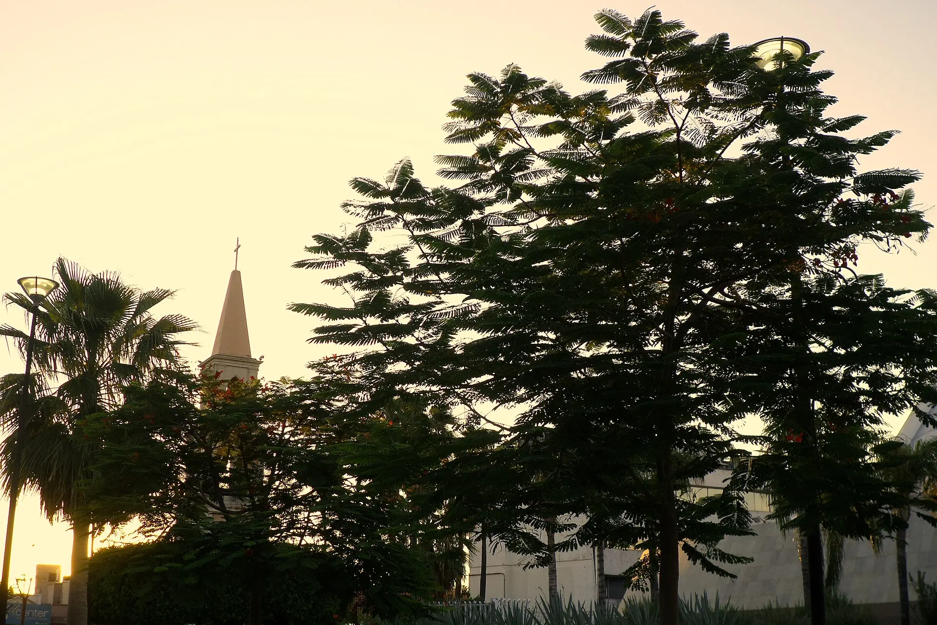
The Laguna del Náinari is the green heart of the city, an artificial lake with a promenade, jogging paths, and parks where families gather in the evening. In the center you'll find the Sagrado Corazón de Jesús Cathedral and the Plaza Álvaro Obregón. The Museo de los Yaquis presents the history and culture of the Indigenous people, whose eight traditional villages lie along the Río Yaqui. The Yaqui preserve their own ceremonies, such as the Deer Dance, the Danza del Venado, which is performed at Easter and during festivals. Parque Ostímuri offers more green space, playgrounds, and sports facilities. If you want to experience the vastness of the valley, head out onto one of the country roads at sunset, when the light turns golden over the fields and irrigation canals cut across the landscape. During the spring harvest, combines and trucks loaded with wheat are everywhere.
Eating in Ciudad Obregón
Sonora is beef country, and Ciudad Obregón is no exception. Carne asada is grilled over mesquite wood and served with large, thin flour tortillas. It comes with frijoles maneados, beans with cheese, and a salsa made from chiltepín peppers. Sonoran hot dogs wrapped in bacon are sold at street stands until late at night. The region's wheat goes into coyotas and flour tortillas in every size. Seafood comes in from the coast near Guaymas and is served in the city as cocteles and ceviche.
Getting Around, Safety, and When to Go
Ciudad Obregón Airport (CEN) has connections to Mexico City, Tijuana, and Guadalajara. Federal Highway 15 links the city with Hermosillo to the north and Los Mochis to the south. Within the city, taxis and ride-hailing services are common. For years, Ciudad Obregón has recorded high rates of violence related to organized crime; visitors should check current conditions before traveling, avoid intercity drives at night, and stick to busy areas. The best time to visit is between November and March, when the heat is bearable. Day trips lead to the Presa Álvaro Obregón reservoir, to the coast at Guaymas and San Carlos, and to Álamos, a colonial Pueblo Mágico in the foothills of the Sierra.