Ciudad del Carmen: Island City Between Lagoon and Gulf
Travel guide · editorialCiudad del Carmen sits on a narrow island between the Gulf of Mexico and the vast Laguna de Términos. A trip to Ciudad del Carmen combines beach days at Playa Norte with fresh seafood and a look at Mexico's oil industry.
Pirate Hideout and Oil Boom
In the 17th century, English pirates used Isla del Carmen as a base from which to raid ships and cut valuable logwood. The Spanish didn't drive them out until 1717; the name recalls the Virgen del Carmen, whose feast day is celebrated on July 16. For a long time, the town lived off the timber trade and shrimp fishing. Starting in the 1970s, the discovery of the Cantarell oil field in the Gulf changed everything: Ciudad del Carmen became the base of Pemex's offshore industry, and helicopters and supply ships have been part of the cityscape ever since. Neighborhoods like Colonia Petrolera carry the oil history right in their names.
Sights in Ciudad del Carmen
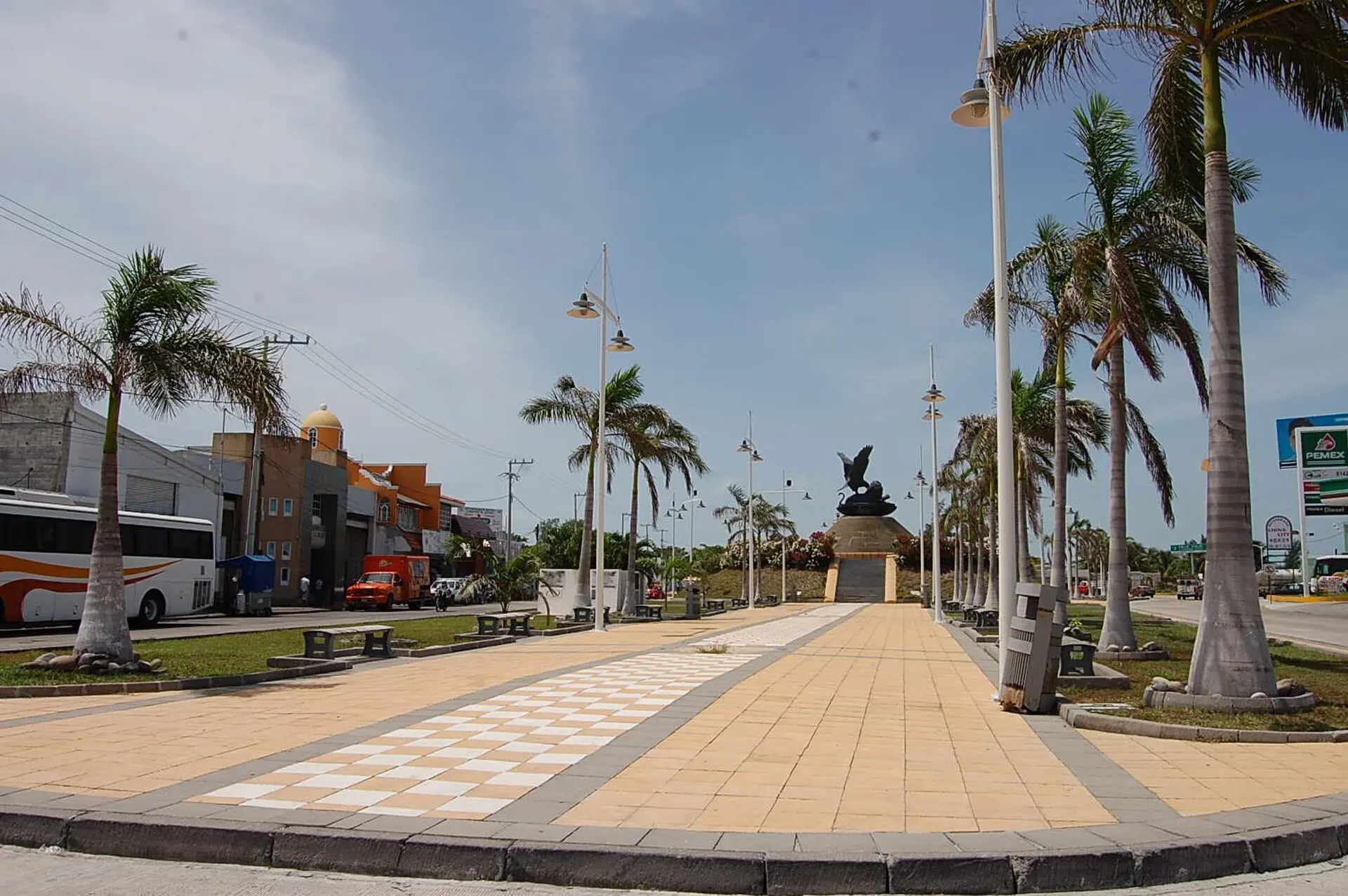
The historic center, Colonia Centro, is arranged around Parque Zaragoza, with the Cathedral of Nuestra Señora del Carmen and an iron pavilion. All around stand wooden houses with tile roofs in a Caribbean-style look. The Malecón along the lagoon is the town's most popular gathering spot in the evening. On the north side of the island, Playa Norte stretches out with shallow water, palapas, and beachfront restaurants. The approach over the Puente El Zacatal, one of the longest bridges in Mexico, which links the island with the mainland, is impressive. The Laguna de Términos itself is a protected area: on boat tours you can see dolphins, mangroves, and numerous waterbirds.
Eating in Ciudad del Carmen
The island's cuisine draws on the lagoon and the sea. Famous is the cóctel de camarón (shrimp cocktail), along with pan de cazón, stuffed crabs, fish in achiote, and octopus prepared in a variety of ways. In Colonia Centro and along the Malecón you'll find simple marisquerías where fishermen and oil workers alike stop in for lunch. Because of the many business travelers, there's also a good selection of steakhouses and international restaurants, especially in neighborhoods like San Agustín del Palmar and around Avenida Periférica.
Excursions on the Island and in the Surrounding Area
Isla del Carmen is about 25 miles (40 km) long. At the eastern end, the La Unidad Bridge links the island with Isla Aguada, a fishing village where boats set out for dolphin watching in the lagoon. Quiet beaches such as Playa Bahamita are also located there. The Laguna de Términos protected area is one of the largest estuary systems in Mexico, with mangroves, seagrass meadows, and nesting sea turtles. If you keep going, the coastal road toward Campeche takes you to the colonial towns of Champotón and Seybaplaya, where fishermen sell their catch right on the beach.
Getting There, Safety, and Best Time to Visit
The city's airport has connections to Mexico City and occasionally to other destinations. By bus, you can reach Campeche in about three hours and Villahermosa in around three hours. On the island, you get around by taxi or city bus. Ciudad del Carmen has at times been affected by crime; with usual caution and by taking taxis at night, a stay is quite doable. The best time to visit is between November and April, when it is drier and somewhat cooler. Summer is hot and humid, and storms are possible during hurricane season, which lasts through October. Around July 16, the city celebrates its patron saint with a boat procession.