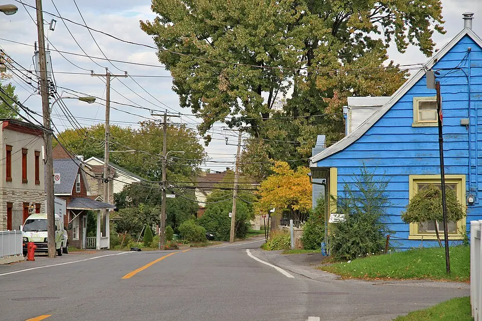
About Boulevard Gouin
At 57.6 kilometers (about 35.8 miles), Boulevard Gouin is the longest street on the Island of Montreal. It runs along the north side of the island from Senneville in the west to Pointe-aux-Trembles in the east, where it meets Sherbrooke Street. For most of its course, it runs parallel to the Rivière des Prairies, which separates Montreal from Laval, and passes through several neighborhoods, including Pierrefonds, Sainte-Geneviève, and Ahuntsic. The street was named in 1910 in honor of the former premier of Quebec, Sir Lomer Gouin. Its history dates back to 1731, when it was laid out as part of the Chemin du Roy, the oldest highway in Canada. Today, the boulevard is an important thoroughfare, but it is also known for its bike paths, which are part of Quebec's Route verte cycling network, as well as for the impact of the 2017 floods.
At a glance
- Category
- Sight › Historic sites
- Rating
- no reviews yet · write a review
- Address
- —
Montreal, Canada - District
- Ahuntsic
- Phone
- —
- Website
- —
- —
- Coordinates
- 45.55384° N · -73.67313° E
- Data quality
- confidence 0.83
- Identifier
- ID f6735cef-d69…
Location & surroundings
Toggle layersRatings & comments
none yetNear Boulevard Gouin
closest 5 per category · 2 kmSights
Restaurants
Museums
None within 2 km.
Hotels
Cocktail bars
More:Historic sites in Montreal (712)All sights in Montreal (758)
83 places within 2 km loaded.
Don't miss in Montreal
All sights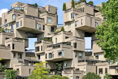 Historic sites01
Habitat 67
2600 Ave Pierre-Dupuy · Montreal● Website● Phone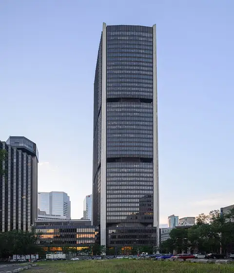 Monuments02
Tour de la Bourse
800 Rue du Square Victoria · Montreal● Website● Phone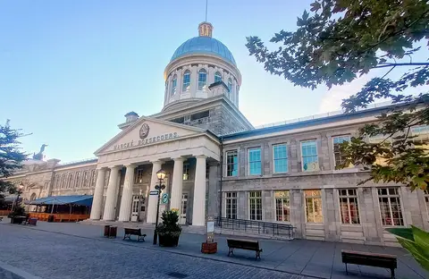 Historic sites03
Bonsecours Market
300 Rue St-Paul E · Montreal● Website● Phone Monuments04
You need a free account to leave reviews and photos – that keeps comments genuine and lets you edit them later.