About High Line 23
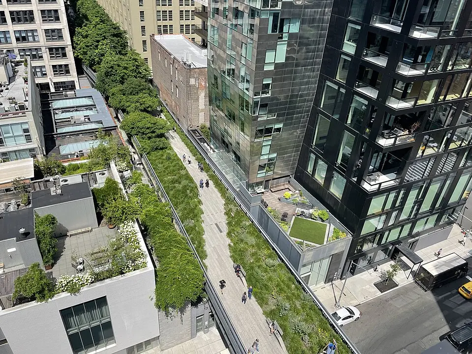
The High Line in New York City is a one-of-a-kind example of urban transformation, born from a disused freight rail line on Manhattan's West Side. Originally built as part of the West Side Freight Line, it carried goods to the factories and warehouses of the Meatpacking District and West Chelsea starting in 1932. After rail service ended for good in the 1980s, the structure faced demolition. Thanks to the efforts of the group Friends of the High Line, however, the line was saved and turned into a public park, which today runs from West 34th Street to Gansevoort Street. At roughly 1.45 miles (2.6 km) long and 24.6 feet (7.5 m) above the ground, the park offers an extraordinary view of the city skyline.
The history of the High Line is closely tied to the industrial development of the neighborhood. In the 19th century, the street-level railroad tracks along 10th Avenue caused numerous accidents, which led to the decision to elevate the line. After it was shut down in the 1980s, natural vegetation took hold on the overgrown viaduct and later served as inspiration for the park's design. The first section opened in 2009, followed by further sections through 2014. Since 2019, The Spur, a short branch of the park, has hosted rotating art exhibitions. In 2023, the connection to Moynihan Train Hall was completed, marking the park's northern end.
On the High Line, visitors experience a harmonious blend of urban architecture and nature. The planting plan, developed by Dutch landscape architect Piet Oudolf, consists mainly of species that had previously grown wild on the abandoned tracks. This deliberate choice of vegetation underscores the site's character as a place of regeneration. Along the way you'll find seating areas, viewpoints, and art installations that invite you to linger. The park is open daily and draws millions of visitors every year, who enjoy the contrast between the bustling city below and the quiet, green oasis above.
The High Line has not only changed Manhattan's cityscape but also shaped how other major cities view abandoned urban spaces. It has served as a model for similar projects around the world that convert former infrastructure into public recreation areas. The park has also revitalized the surrounding area and has become a popular location for creative-industry companies. Honors such as the International EGHN Award have brought international recognition for the quality of its design. For travelers, the High Line is an essential stop for experiencing the history and modern evolution of New York up close.
At a glance
- Category
- Sight › Historic sites
- Rating
- no reviews yet · write a review
- Address
- 519 W 23rd St
10011-1142 New York, USA - District
- Manhattan
- Phone
- +12122066206
- Website
- www.TheVictoriaShtainerTeam.com
- —
- Coordinates
- 40.74818° N · -74.00465° E
- Data quality
- confidence 0.80
- Identifier
- ID a2813331-6a0…
Location & surroundings
Toggle layersFAQ about High Line 23
quick answersWhat is High Line 23 in New York?
High Line 23, at 519 W 23rd St in Manhattan, New York, is part of the High Line, a public park built on a disused freight rail line on Manhattan's West Side. The park runs from West 34th Street to Gansevoort Street. It is about 2.6 kilometers (1.6 miles) long and sits 7.5 meters (25 feet) above street level, giving you a special view of the city skyline.
How did the High Line in New York come about?
The High Line in New York grew out of an elevated section of the West Side Freight Line, which from 1932 carried goods to factories and warehouses in the Meatpacking District and West Chelsea. The line was raised because the street-level railway on 10th Avenue had caused numerous accidents in the 19th century. After rail traffic ended in the 1980s, the structure faced demolition, but the group Friends of the High Line saved it. The first section of the park opened in 2009, with further sections following through 2014, and in 2023 the connection to Moynihan Train Hall was completed.
What can you expect on a walk along the High Line in Manhattan?
On the High Line in Manhattan, you'll find a mix of urban architecture and nature, with seating areas, viewpoints, and art installations. The planting design was created by Dutch landscape architect Piet Oudolf and consists mostly of species that had previously grown wild on the abandoned tracks. Since 2019, The Spur, a short offshoot, has been used for rotating art exhibitions. The design has won awards including the International EGHN Prize.
Is the High Line in New York open every day?
Yes, according to the available information, the High Line in New York is open daily. Exact hours can change, so it's best to check them before your visit. The park attracts millions of visitors every year.
What can you see around High Line 23 in New York?
Near High Line 23 at 519 W 23rd St in Manhattan, you'll find the Dia Art Foundation for contemporary art, about 147 meters (480 feet) away. For a break, travelguide195 lists around 131 restaurants within 500 meters (about 1,640 feet).
Ratings & comments
none yetNear High Line 23
closest 5 per category · 2 kmSights
Restaurants
Hotels
More:Historic sites in New York (3,728)Sights in Manhattan (2,358)All sights in New York (4,021)
300 places within 2 km loaded.
Don't miss in New York
All sights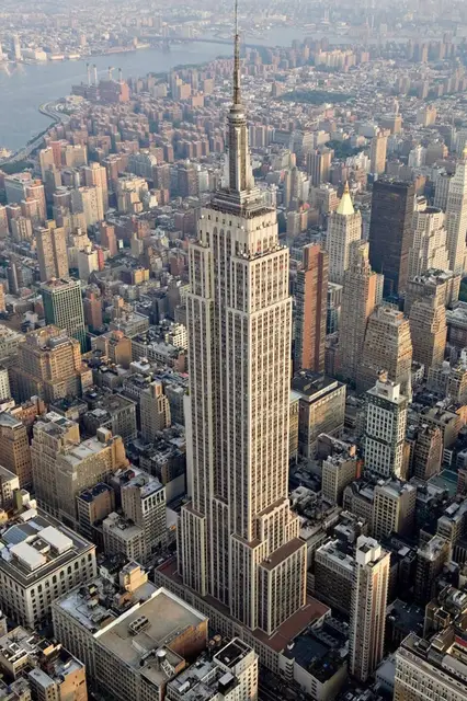 Historic sites01
Empire State Building
20 W 34th St · New York● Website○ Phone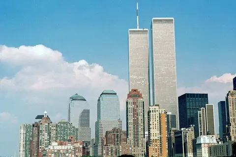 Monuments02
9/11 World Trade Center Memorial Monument
180 Greenwich St · New York○ Website● Phone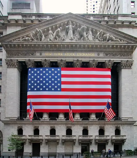 Historic sites03
New York Stock Exchange
11 Wall St · New York● Website● Phone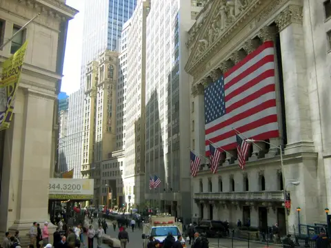 Historic sites04
You need a free account to leave reviews and photos – that keeps comments genuine and lets you edit them later.
Built on a defunct elevated railway that runs 30 feet above the streets, the re-purposing of the rail line as a park has made it the focus of major development in the neighborhood. There are plenty of plantings and art installations along the park as it winds its way between (and through!) buildings, and walking the stretch offers some pretty unique views over the streets of Manhattan. No dogs or bicycles. There are restrooms at Gansevoort St. (the southern terminus), 16th St, 30th St, and 31st St/ Dyer Ave .
Source: Wikivoyage, „Manhattan/Chelsea“ · authors per page history · CC BY-SA 4.0 · as of 9/11/2026