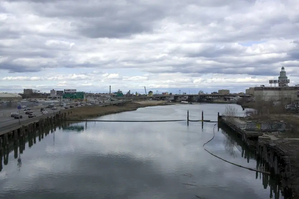
About Flushing Creek
Flushing Creek, also known as Flushing River, is a waterway about 4 miles (6 km) long that winds through the New York City borough of Queens. It rises in Kew Gardens Hills and first flows through the man-made lakes Meadow Lake and Willow Lake, which form the southern part of Flushing Meadows–Corona Park. On its way north, the creek runs partly in the open and partly through underground channels beneath major traffic arteries such as the Long Island Expressway, before it resurfaces at the Tide Gate Bridge. In its northern stretch, the river separates the industrial areas of Willets Point and Flushing until it finally empties into Flushing Bay and the East River. Historically, the creek divided the valley into two halves and was fed by several tributaries, most of which have since been covered over or diverted into channels.
The landscape around the river was dramatically altered in the 20th century, above all by the 1939 and 1964 World's Fairs. At that time, sections of the creek were rerouted, dammed, and buried underground to make room for parks, lakes, and exhibition grounds. Today the artificial lakes serve not only for recreation but also as retention basins for stormwater. In the park, you can follow walking trails that run along the water, or rent a boat at Meadow Lake and watch rowing activities. Willow Lake is a designated nature preserve, where a loop trail lets you discover the local flora and fauna.
Despite the landscaping, the northern part of the river remains heavily industrialized and was long affected by severe pollution. Since the 1970s, extensive cleanup efforts have been under way, including the removal of legacy contamination and the restoration of wetlands. Today, Flushing Creek links historic sites with modern parks and offers a glimpse into the complex history of New York City's urban development, where nature and urban infrastructure are closely intertwined.
At a glance
- Category
- Sight › Historic sites
- Rating
- no reviews yet · write a review
- Address
- 13 29th Ave.
New York, USA - District
- Queens
- Phone
- —
- Website
- watercourses.typepad.com
- —
- Coordinates
- 40.76482° N · -73.84458° E
- Data quality
- confidence 0.96
- Identifier
- ID e6eba03c-14e…
Location & surroundings
Toggle layersRatings & comments
none yetNear Flushing Creek
closest 5 per category · 2 kmSights
Restaurants
Museums
Hotels
More:Historic sites in New York (3,728)Sights in Queens (552)All sights in New York (4,021)
160 places within 2 km loaded.
Don't miss in New York
All sights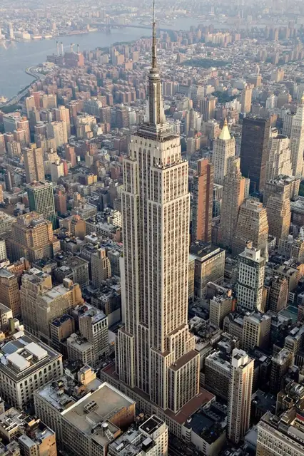 Historic sites01
Empire State Building
20 W 34th St · New York● Website○ Phone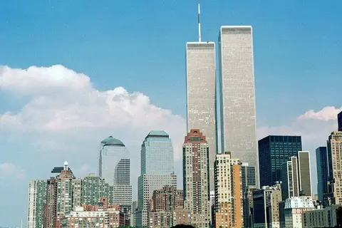 Monuments02
9/11 World Trade Center Memorial Monument
180 Greenwich St · New York○ Website● Phone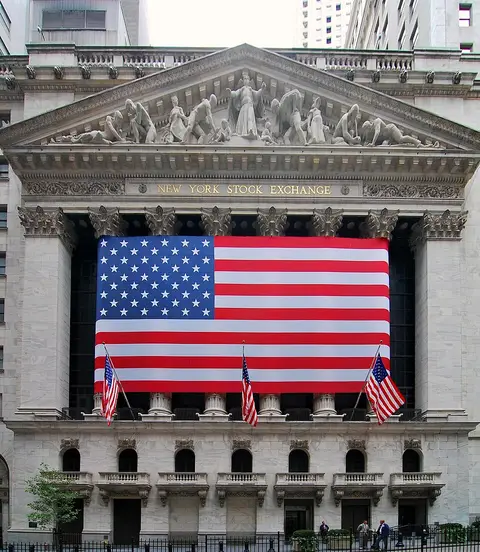 Historic sites03
New York Stock Exchange
11 Wall St · New York● Website● Phone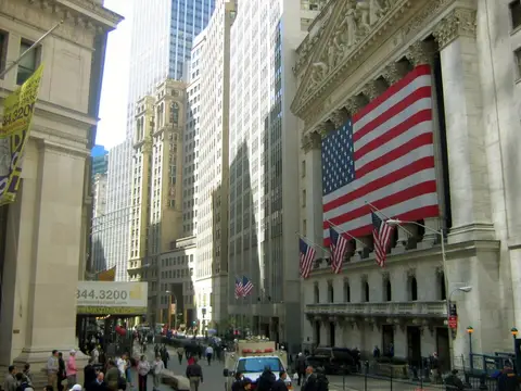 Historic sites04
You need a free account to leave reviews and photos – that keeps comments genuine and lets you edit them later.