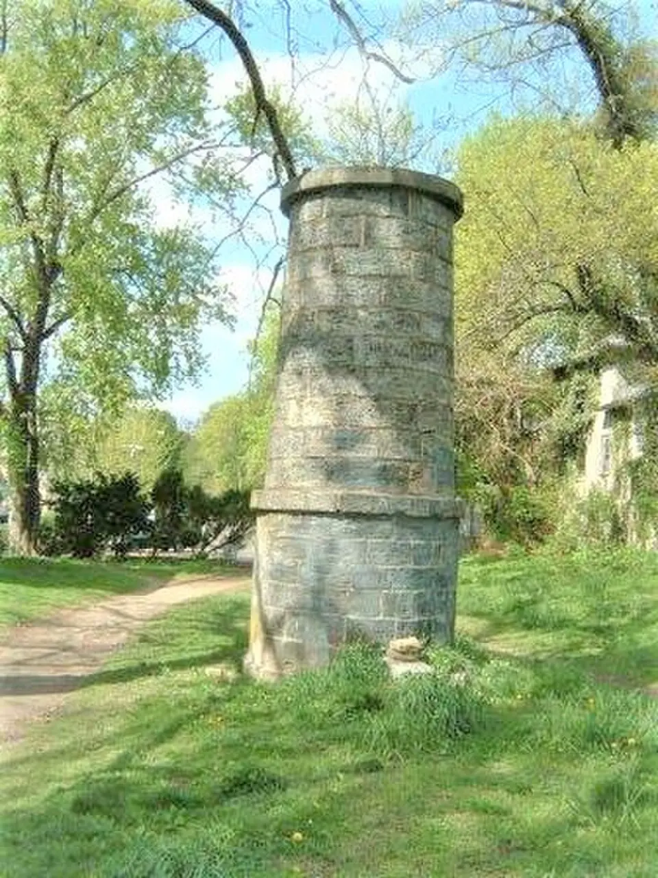
About Croton Aqueduct
The Croton Aqueduct was the first major water supply project for New York City, completed in 1842. Because the water from the Hudson and East Rivers was undrinkable due to its salt content, and local wells could no longer keep up with growing demand, this system was built under the direction of John B. Jervis. It carried water from the Croton River to Manhattan over a distance of 41 miles (66 kilometers). The project was a response to recurring epidemics such as cholera and typhoid, which were caused by contaminated groundwater. The formal opening ceremony in 1842 was a historic event, attended by then U.S. President John Tyler.
Architecturally, the conduit consisted largely of a masonry gravity-fed channel with a barrel-shaped cross-section. The water flowed by gravity alone, which meant a journey time of 22 hours from the reservoir to the city. Crossing the Harlem River was especially challenging and was accomplished with the 440-meter-long High Bridge, which still stands today and is used as a pedestrian bridge. Central Park once held a large settling basin, whose site is now marked by the meadow known as the Great Lawn. Another reservoir in Bryant Park, where the New York Public Library now stands, was demolished as early as the end of the 19th century.
After the aqueduct was taken out of service in 1965, because the growing city required greater capacity, which had already been provided in 1906 by the New Croton Aqueduct, the structure found a new purpose. The remains of the channel were designated a National Historic Landmark in 1992. Today, the former maintenance path along the gravity-fed tunnel serves as a popular cycling and hiking route. A large part of the site is incorporated into Old Croton Aqueduct State Historic Park, which gives visitors the chance to explore the city's historic infrastructure in a natural setting.
At a glance
- Category
- Sight › Historic sites
- Rating
- no reviews yet · write a review
- Address
- —
New York, USA - District
- Manhattan
- Phone
- —
- Website
- ko.wikipedia.org
- —
- Coordinates
- 40.75306° N · -73.98194° E
- Data quality
- confidence 0.77
- Identifier
- ID 577c511c-b16…
Location & surroundings
Toggle layersFAQ about Croton Aqueduct
quick answersWhat is the Croton Aqueduct in New York?
The Croton Aqueduct was the first major water supply project for New York City and was completed in 1842. Built under the direction of John B. Jervis, the system was created because the brackish water from the Hudson and East Rivers was undrinkable and local wells were no longer sufficient. The aqueduct was also a response to epidemics such as cholera and typhoid, which were caused by contaminated groundwater. The then US president, John Tyler, attended the official opening ceremony in 1842.
How did the Croton Aqueduct work?
The Croton Aqueduct carried water from the Croton River to Manhattan in New York over a distance of roughly 41 miles (66 km), using gravity alone. The line consisted largely of a masonry gravity-flow channel with a horseshoe-shaped cross section. The water took about 22 hours to travel from the reservoir to the city. The aqueduct was taken out of service in 1965 because the growing city needed more capacity, which the New Croton Aqueduct, completed in 1906, provided.
What can you still see of the Croton Aqueduct today?
Among the surviving parts of the Croton Aqueduct in New York are the High Bridge and the former service path along the channel. The High Bridge over the Harlem River, about 1,440 feet (440 m) long, is now used as a pedestrian bridge, and the old service path serves as a bike and hiking trail. Much of the site is part of the Old Croton Aqueduct State Historic Park, and the remains were designated a National Historic Landmark in 1992. In Manhattan, the Great Lawn in Central Park marks the site of the former settling basin, and the New York Public Library now stands where the reservoir in Bryant Park once was.
What can you visit around the Croton Aqueduct in Manhattan?
Several historic sites and monuments lie in the immediate vicinity of the Croton Aqueduct in Manhattan. travelguide195 lists, for example, the lion sculpture Patience and Fortitude about 28 meters away, the historic building at 500 Fifth Avenue about 116 meters away, and the Latting Observatory memorial about 126 meters away. The Engineers Club Commemorative Plaque is also located about 132 meters away.
Are there restaurants near the Croton Aqueduct in New York?
Yes, you'll find a great many restaurants around the Croton Aqueduct in Manhattan. travelguide195 lists about 598 restaurants within a 500-meter radius. That makes it easy to combine your visit to this historic site in New York with a meal.
Ratings & comments
none yetNear Croton Aqueduct
closest 5 per category · 2 kmSights
Restaurants
Museums
Hotels
More:Historic sites in New York (3,728)Sights in Manhattan (2,358)All sights in New York (4,021)
300 places within 2 km loaded.
Don't miss in New York
All sights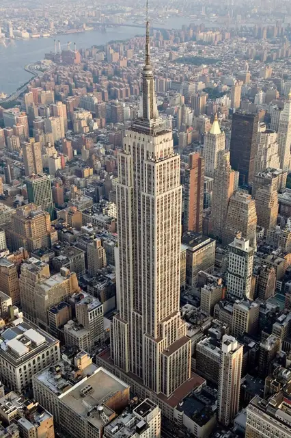 Historic sites01
Empire State Building
20 W 34th St · New York● Website○ Phone Monuments02
9/11 World Trade Center Memorial Monument
180 Greenwich St · New York○ Website● Phone Historic sites03
New York Stock Exchange
11 Wall St · New York● Website● Phone Historic sites04
You need a free account to leave reviews and photos – that keeps comments genuine and lets you edit them later.
Go hiking or biking on the aqueduct's trailway. The original water supply to New York City is now a walking trail that runs from Croton-on-Hudson in the north to Yonkers in the south. Over the 180 years since it was built portions have disappeared from the downtown areas of several river towns, so a map can be helpful. Cornelia Cotton Gallery at 111 Grand Ave. sells maps of the trail.
Source: Wikivoyage, „Croton-on-Hudson“ · authors per page history · CC BY-SA 4.0