About Algiers Point
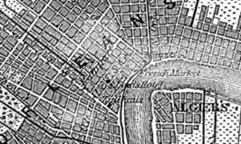
Algiers Point is a prominent spit of land on the lower Mississippi in New Orleans, marking the southern end of the river's characteristic bend. Here the river turns north and then swings sharply to the east, while well-known neighborhoods such as the French Quarter lie on the opposite bank. An important navigational landmark, the spot is known for its exceptional depth, which, at roughly 200 feet (about 60 meters), makes it one of the deepest stretches of the river. That depth varies, however, depending on sediment transport and erosion. A Coast Guard lighthouse marks the position, and since the twentieth century, licensed pilots have monitored shipping traffic to manage the hazardous two-way traffic during high water.
Today's Algiers Point neighborhood covers about fifty city blocks, bounded by Opelousas Avenue, Atlantic Avenue, and the river. Historically, the area extended farther north, but after a devastating fire in 1895, many buildings were destroyed and the streets were laid out anew. Opelousas Avenue, formerly Market Street, has marked the boundary with neighboring McDonoghville ever since, although the historic name Algiers Point sometimes still extends as far as Newton Street. The neighborhood has evolved into a lively mixed-use area, home to numerous small bars, restaurants, coffeehouses, and service businesses.
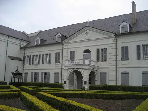
A cultural highlight is the Cita Dennis Hubbell Branch of the New Orleans Public Library, housed in the city's oldest public library building. One of the few Carnegie libraries still standing in the region, it opened in 1907 and reopened in 2013 after Hurricane Katrina and structural renovation work. The building reflects the historical significance of the neighborhood and today serves as a central gathering place for residents, who traditionally call themselves Algierines.
At a glance
- Category
- Sight › Historic sites
- Rating
- no reviews yet · write a review
- Address
70116 New Orleans, USA- Phone
- —
- Website
- en.wikipedia.org
- —
- Coordinates
- 29.95492° N · -90.05563° E
- Data quality
- confidence 0.94
- Identifier
- ID 8d5fef30-160…
Location & surroundings
Toggle layersRatings & comments
none yetNear Algiers Point
closest 5 per category · 2 kmSights
Restaurants
Museums
Hotels
More:Historic sites in New Orleans (408)All sights in New Orleans (450)
300 places within 2 km loaded.
You need a free account to leave reviews and photos – that keeps comments genuine and lets you edit them later.