


Discover Brookhaven: Long Island Between the Sound and the Atlantic
Travel guide · editorialBrookhaven isn't a city in the traditional sense but a sprawling town that stretches across Long Island, from the North Shore on Long Island Sound to the dunes of Fire Island. A trip to Brookhaven means colonial-era village centers, beaches, pine forests, and cutting-edge research – about 56 miles east of Manhattan.
Colonial Villages and Spy History
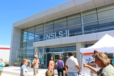
The settlement of Setauket was founded by New Englanders in 1655 and is the historic heart of the town. During the Revolutionary War, the Culper Ring operated here, a spy network in the service of George Washington; guided tours and historical markers tell the story of secret messages and clothesline signals. Today Brookhaven is made up of dozens of communities, including Port Jefferson, Stony Brook, Patchogue, Medford, and Shirley. Brookhaven National Laboratory, a major research center of the U.S. Department of Energy, and Stony Brook University shape the region's scientific profile; several Nobel Prizes trace back to work done at the laboratory.
Sights in Brookhaven
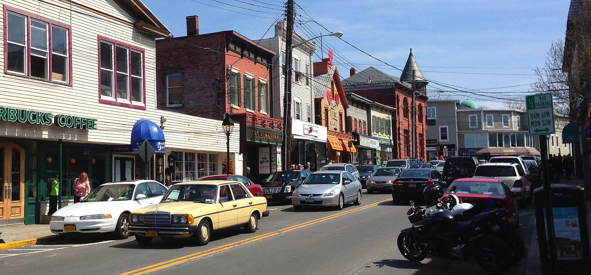
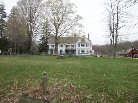
Stony Brook Village charms with colonial buildings, a duck pond, and the Long Island Museum, which displays carriages and paintings by William Sidney Mount. Port Jefferson is a lively harbor town with a ferry across the Sound to Bridgeport, Connecticut. In the south, a ferry runs from Patchogue to Fire Island, where car-free villages, broad Atlantic beaches, and the Sunken Forest, an ancient coastal woodland behind the dunes, await. Inland, the Long Island Pine Barrens protect a large expanse of pine forest and heathland, where the Peconic River begins. The William Floyd Estate in Mastic commemorates a signer of the Declaration of Independence.
Eating and Going Out in Brookhaven
Fish and seafood dominate the menus: clam chowder, steamed clams, lobster rolls, and oysters from the Great South Bay. Main Street in Patchogue has grown into a nightlife strip with theaters, breweries, and restaurants, while Port Jefferson draws visitors with pubs and ice cream shops along the harbor. In summer, farm stands tempt with corn, strawberries, and pumpkins, and you can visit wineries on the nearby North Fork.
Beaches and Nature in Brookhaven
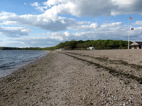
On the South Shore you'll find Smith Point County Park, with an Atlantic beach on Fire Island that you can reach by car over a bridge, and Bellport charms with its well-kept village center. The Wertheim National Wildlife Refuge at the mouth of the Carmans River protects salt marshes and woodlands that you can explore by canoe. The North Shore offers rocky beaches with views of Connecticut, such as at Mount Sinai. In fall the forests of the Pine Barrens turn color, and hiking trails such as the Paumanok Path run through them.
Getting Around Brookhaven and Best Time to Visit
Long Island MacArthur Airport in Ronkonkoma lies right on the town's border; New York's JFK and LaGuardia airports are about one to one and a half hours away. The Long Island Rail Road connects several communities with Manhattan, but between villages you'll need a car or buses. The best time to visit is summer, with beach weather and ferry service to Fire Island; in fall the wineries and pumpkin fields are especially lovely and the roads are less crowded. Day trips lead to the Hamptons, to Montauk at the island's eastern tip, or by ferry to Connecticut.