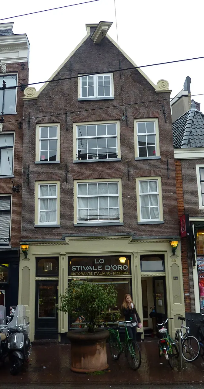
About Amstel 150
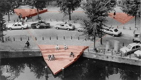
Amstelstraat in Amsterdam-Centrum is a historic street running between Rembrandtplein and the Blauwbrug. Named after the river of the same name, which curves around the area here, it has existed since the end of the 16th century. Originally part of the new city wall built between 1592 and 1596, it remained undeveloped for a long time and served as the boundary of the so-called Amstel Triangle. While the area between the river and the street was once densely packed with small plots and trades such as carriage building and farriery, today cafés, restaurants, and dance venues define the scene. Since the 19th century, the neighborhood has grown into a lively entertainment district known for its cultural diversity.
The street's rich theater and entertainment history deserves special attention. It was once home to important venues such as the Hoogduitse Schouwburg, the Nederlandsch Panopticum with its wax figures, and the famous Variété Flora. After several fires and renovations, the latter became an important gathering place in the 20th century and was later converted into various discos and clubs, including the well-known gay disco iT, which now serves as a dance museum. The street also played an economic role, housing bank buildings such as that of Wertheim & Gompertz and the headquarters of ABN AMRO Bank, whose complex is now used by restaurants and businesses.
Today Amstelstraat is car-free and is crossed by tram line 14. You can admire the historic buildings, including several listed houses with characteristic gables. The street offers a glimpse into Amsterdam's social history, in particular through the former meeting places for gay visitors and the memorials to tragic events such as the 1970 fire, which drew attention to the difficult living conditions of guest workers. In addition to the cultural highlights, the surrounding area invites you to stroll, with the adjacent Rembrandtplein and the nearby Stopera offering further attractions in the city center.
At a glance
- Category
- Sight › Historic sites
- Rating
- no reviews yet · write a review
- Address
1017AE Amsterdam, Netherlands- District
- Centrum
- Phone
- —
- Website
- —
- —
- Coordinates
- 52.36688° N · 4.89872° E
- Data quality
- confidence 0.82
- Identifier
- ID 74d307f7-2f4…
Location & surroundings
Toggle layersRatings & comments
none yetNear Amstel 150
closest 5 per category · 2 kmSights
Museums
Hotels
More:Historic sites in Amsterdam (397)Sights in Centrum (132)All sights in Amsterdam (475)
300 places within 2 km loaded.
You need a free account to leave reviews and photos – that keeps comments genuine and lets you edit them later.