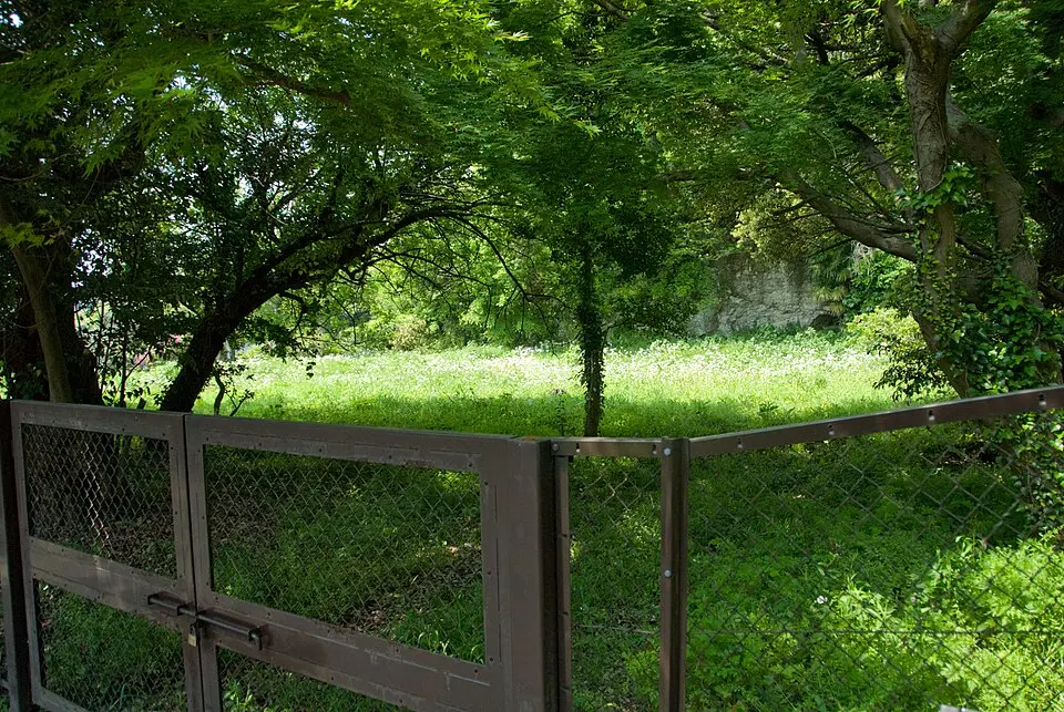
About Tosho-ji Site
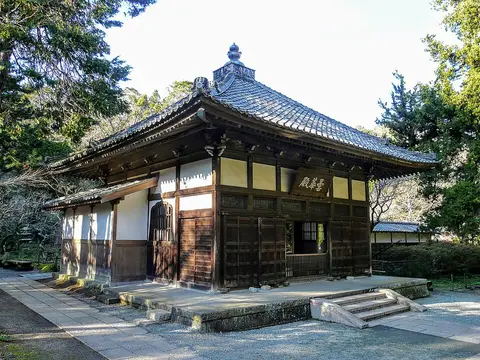
Tōshō-ji was the family temple of the powerful Hōjō clan during the Kamakura period. It was founded in 1237 by Hōjō Yasutoki, the third regent of the shogunate, in honor of his late mother. The temple grounds lay in the Kasaigayatsu Valley in today's Ōmachi and made clever use of the natural topography. With its deep ravines and steep hills, the site was hard to reach and also offered a clear view of the only road across the Nameri River. This location made Tōshō-ji not only a spiritual center but also a militarily valuable stronghold for the family.
The site is best known as the place where the Hōjō clan's rule came to an end. When Nitta Yoshisada attacked Kamakura in 1333, the regents and their followers withdrew to the temple. There they set the buildings on fire and died by mass suicide, sealing the end of the shogunate. Archaeological excavations later confirmed the existence of the complex through finds of burned stones, Chinese pottery shards, and roof tiles bearing the Hōjō family crest. Today, a plaque commemorates the historical significance of the site as the clan's final resting place.
Near the former temple grounds lies the so-called Harakiri Yagura, a cave where the last regent, Hōjō Takatoki, is traditionally said to have taken his own life. Shortly after the temple's destruction it was rebuilt and even attained a high rank in the Muromachi period, but it was later abandoned during the Sengoku period. The remains of the Hōjō were later moved to a new location on the emperor's orders, where they are still venerated today.
At a glance
- Category
- Sight › Historic sites
- Rating
- no reviews yet · write a review
- Address
- 3 Chome-10-1 Komachi
248-0006 Kamakura, Japan - Phone
- —
- Website
- en.wikipedia.org
- —
- Coordinates
- 35.32045° N · 139.55931° E
- Data quality
- confidence 0.82
- Identifier
- ID 941cbb59-0d4…
Location & surroundings
Toggle layersRatings & comments
none yetNear Tosho-ji Site
closest 5 per category · 2 kmCocktail bars
More:Historic sites in Kamakura (132)All sights in Kamakura (142)
182 places within 2 km loaded.
You need a free account to leave reviews and photos – that keeps comments genuine and lets you edit them later.