About Ille (rivier)
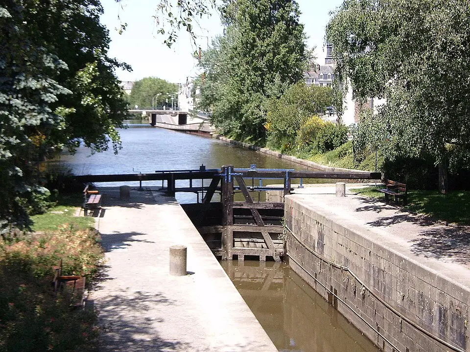
The Ille is a river in Brittany, roughly 49 kilometers (30 miles) long, that rises in the Ille-et-Vilaine département. It begins as the Ruisseau de la Guzardière and first flows south until it meets the Canal d'Ille-et-Rance at Montreuil-sur-Ille. From this point on, the river is channeled and navigable, which gives it particular importance as a regional waterway. The Ille passes through several towns, including Betton and Saint-Grégoire, before joining the Vilaine as a right-bank tributary. This confluence takes place in the middle of the city of Rennes. Today the canal stretch is used mainly for tourism, as it is plied by pleasure boats and houseboats, making it an appealing feature for visitors to the region.
At a glance
- Category
- Sight › Historic sites
- Rating
- no reviews yet · write a review
- Address
- —
Rennes, France - District
- Centre
- Phone
- —
- Website
- —
- —
- Coordinates
- 48.11060° N · -1.68580° E
- Data quality
- confidence 0.77
- Identifier
- ID 66cb5694-de6…
Location & surroundings
Toggle layersRatings & comments
none yetNear Ille (rivier)
closest 5 per category · 2 kmSights
Restaurants
Museums
Hotels
More:Historic sites in Rennes (44)Sights in Centre (19)All sights in Rennes (49)
183 places within 2 km loaded.
Don't miss in Rennes
All sights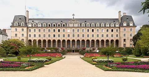 Historic sites01
Palais Saint-Georges
2 Rue Gambetta · Rennes● Website● Phone Historic sites02
Hôtel de Blossac
6 Rue du Chapitre · Rennes○ Website● Phone Historic sites03
Palais du Commerce
Pl. de la République · Rennes○ Website● Phone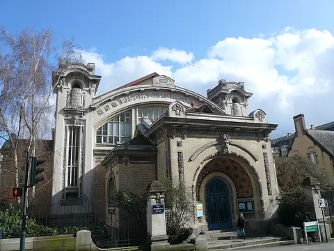 Historic sites04
You need a free account to leave reviews and photos – that keeps comments genuine and lets you edit them later.