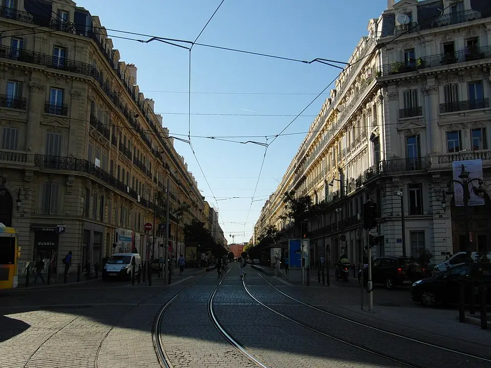
About Rue de la Republique
The Rue de la République in Marseille is a historic grand boulevard, laid out during the Second Empire under Napoleon III as a landmark urban redevelopment project. It connects the Old Port with the New Port and cuts across steeply hilly terrain along the way. Construction, which was completed in 1864, required the demolition of numerous buildings in the densely populated old town. The street was originally meant to bring wealthy residents back to the city center, but this succeeded only in part. Today the area is a mix of middle-class tenants and low-income residents. Ongoing renovation projects aim to upgrade the neighborhood, though gentrification has so far made only limited headway. Here you'll find a blend of historic architecture and social change.
At a glance
- Category
- Sight › Historic sites
- Rating
- no reviews yet · write a review
- Address
- —
Marseille, France - District
- 2nd Arrondissement
- Phone
- —
- Website
- —
- —
- Coordinates
- 43.30140° N · 5.37000° E
- Data quality
- confidence 0.52
- Identifier
- ID 2bdbfde0-047…
Location & surroundings
Toggle layersRatings & comments
none yetNear Rue de la Republique
closest 5 per category · 2 kmSights
Restaurants
Museums
Hotels
More:Historic sites in Marseille (196)Sights in 2nd Arrondissement (29)All sights in Marseille (237)
241 places within 2 km loaded.
Don't miss in Marseille
All sights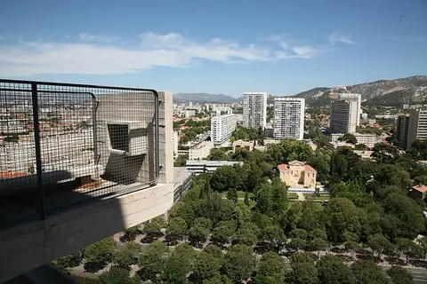 Historic sites01
Unité d'Habitation
280 Bd Michelet · Marseille● Website○ Phone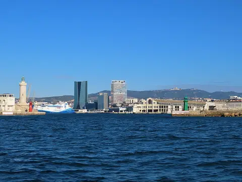 Historic sites02
Tour La Marseillaise
6 Rue Jean-Gaspard Vence · Marseille○ Website○ Phone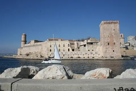 Forts03
Fort Saint-Jean
Prom. Robert Laffont · Marseille● Website● Phone Historic sites04
You need a free account to leave reviews and photos – that keeps comments genuine and lets you edit them later.