About Huveaune
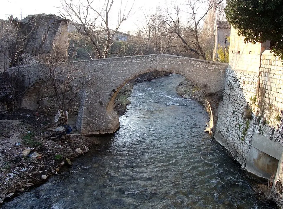
The Huveaune is a coastal river in Provence that rises in the Sainte-Baume Regional Nature Park and flows for about 48 kilometers (30 miles) through the Var and Bouches-du-Rhône départements. Its source lies in the rock cave known as the Grotte de Castelette, where the water spills over travertine pools. The river runs alongside the A52 and A50 highways, crosses the northeast of Marseille, and empties into the Mediterranean just south of the city center near Parc Borély. The beach there is called Plage de l'Huveaune. Because of past pollution, most of the water is now treated at the Marseille wastewater treatment plant and discharged into the sea at the Calanque de Cortiou. Sights along the river include the spring in the Grotte de Castelette and the medieval Pont-Peyrène bridge in Roquevaire.
At a glance
- Category
- Sight › Historic sites
- Rating
- no reviews yet · write a review
- Address
- —
Marseille, France - Phone
- —
- Website
- —
- —
- Coordinates
- 43.26667° N · 5.36667° E
- Data quality
- confidence 0.78
- Identifier
- ID 3b29b9eb-5d3…
Location & surroundings
Toggle layersFAQ about Huveaune
quick answersWhat is the Huveaune in Marseille?
The Huveaune is a coastal river in Provence that flows through Marseille and empties into the Mediterranean Sea there. It rises in the Sainte-Baume Regional Nature Park and runs about 48 kilometers through the Var and Bouches-du-Rhône départements. Along its course it runs alongside the A52 and A50 highways and crosses the northeast of Marseille.
What sights are there along the Huveaune?
Among the best-known sights along the Huveaune are its source in the Grotte de Castelette and the medieval Pont-Peyrène bridge in Roquevaire. In the Grotte de Castelette, a rock cave in the Sainte-Baume Regional Nature Park, the water emerges and flows over travertine pools. The Pont-Peyrène lies along the river between the source and Marseille.
Where does the Huveaune flow into the sea in Marseille?
The Huveaune empties into the Mediterranean Sea south of downtown Marseille, near the Parc Borély. The beach at the river mouth is called Plage de l’Huveaune. Because of past pollution, most of the river water is now treated at the Marseille wastewater treatment plant and discharged into the sea at the Calanque Cortiou.
What can you see around the mouth of the Huveaune in Marseille?
Around the Huveaune in Marseille, you'll find several monuments and statues within walking distance. Within about 1 kilometer, travelguide195 lists the Monument des Rapatriés (about 280 meters away), the Monument à Rimbaud (about 470 meters), the Playas del Prado (about 560 meters), and the Statue of David (about 580 meters), among others. For a break, travelguide195 also lists around 7 restaurants within 500 meters.
Ratings & comments
none yetNear Huveaune
closest 5 per category · 2 kmSights
Restaurants
Hotels
Cocktail bars
More:Historic sites in Marseille (196)All sights in Marseille (237)
118 places within 2 km loaded.
Don't miss in Marseille
All sights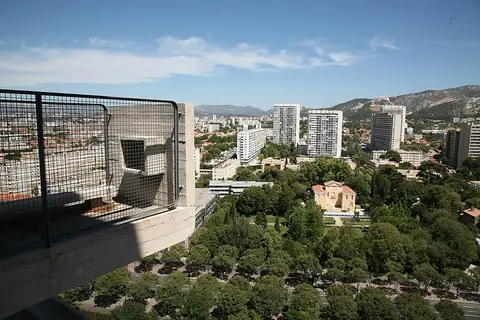 Historic sites01
Unité d'Habitation
280 Bd Michelet · Marseille● Website○ Phone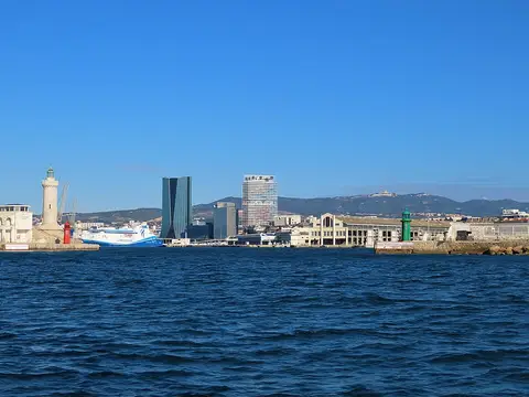 Historic sites02
Tour La Marseillaise
6 Rue Jean-Gaspard Vence · Marseille○ Website○ Phone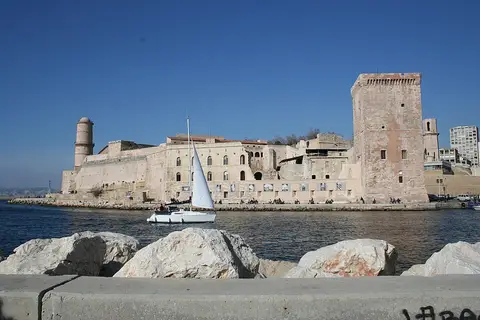 Forts03
Fort Saint-Jean
Prom. Robert Laffont · Marseille● Website● Phone Historic sites04
You need a free account to leave reviews and photos – that keeps comments genuine and lets you edit them later.