Sight · Historic sites
Place Royale
2-4 Rue des Pains Bénits, Ville de Québec, QC G1K Rue des Pains Bénits, G1K 4G6 Quebec
About Place Royale
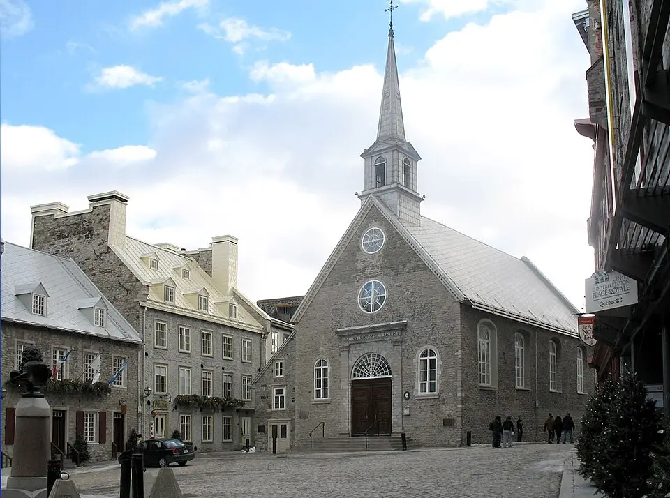
Place Royale in the Lower Town of Québec City is considered the cradle of Canadian history and of French civilization in North America. On July 3, 1608, the navigator Samuel de Champlain built a fortified trading post on this spot, first of wood and later replaced by a stone building. Over the centuries, this site grew into today's Old Town. After a devastating fire in 1682, the neighborhood was rebuilt with firewalls and received its name in 1686, when a statue of King Louis XIV was erected here. On the south side stands the church of Notre-Dame-des-Victoires, believed to be the oldest stone church in North America.
In the 1970s, extensive archaeological excavations unearthed more than 14,000 artifacts and laid the groundwork for the faithful reconstruction of the stone houses in 18th-century style. This restoration, initiated by the provincial government, deliberately focused on the look of the French colonial era and led to the demolition of later buildings from the British period. Today the square is managed by the SODEC corporation, which is responsible for protecting and enhancing the properties there.
Visitors experience Place Royale as a lively tourist hub in the heart of the Old Town. The square is now home to numerous boutiques, cafés, and restaurants that combine historic ambience with modern flair. While the former museum on the history of the site closed in 2017, the organization L'Aire publique d'EXMURO has presented public-space art exhibitions at the Maison Hazeur since 2022. This symbolic place draws hundreds of thousands of guests each year and is a major attraction for the millions of tourists who visit the Québec City region.
At a glance
- Category
- Sight › Historic sites
- Rating
- no reviews yet · write a review
- Address
- 2-4 Rue des Pains Bénits, Ville de Québec, QC G1K Rue des Pains Bénits
G1K 4G6 Quebec, Canada - District
- Vieux-Québec–Cap-Blanc–Colline-Parlementaire
- Phone
- +14186432581
- Website
- www.placeroyale.ca
- projetmkt@quartierpetitchamplain.com
- Coordinates
- 46.81313° N · -71.20275° E
- Data quality
- confidence 0.99
- Identifier
- ID 3b2173c1-80a…
Part of the tour
Québec in One Day: From the Plains of Abraham to the Old Port →Location & surroundings
Toggle layersRatings & comments
none yetNear Place Royale
closest 5 per category · 2 kmSights
Restaurants
Museums
Hotels
More:Historic sites in Quebec (235)Sights in Vieux-Québec–Cap-Blanc–Colline-Parlementaire (66)All sights in Quebec (248)
231 places within 2 km loaded.
Don't miss in Quebec
All sights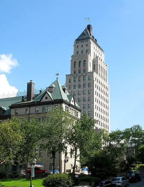 Historic sites01
Édifice Price
Édifice Price, 65 Rue Sainte-Anne #900 · Quebec● Website● Phone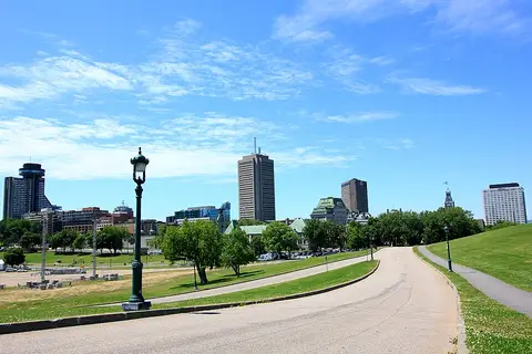 Historic sites02
Plains of Abraham
835 Wilfrid-Laurier Ave · Quebec● Website● Phone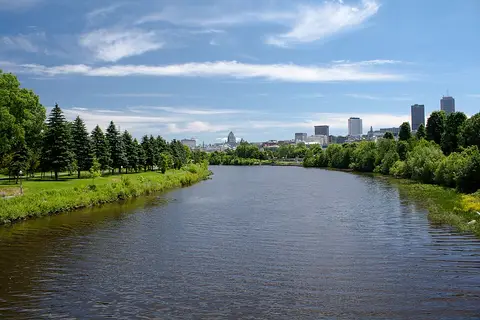 Historic sites03
Rivière Saint-Charles
No address · Quebec○ Website○ Phone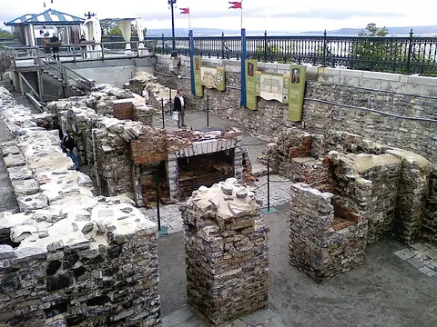 Historic sites04
You need a free account to leave reviews and photos – that keeps comments genuine and lets you edit them later.
The spot where Samuel de Champlain landed in 1608 and founded the first French settlement in North America, now converted into a postcard-pretty public square. Do not miss the huge mural covering the entire side of a nearby building; the figure with a hat standing at the base of the 'street' is Champlain.
Source: Wikivoyage, „Quebec City“ · authors per page history · CC BY-SA 4.0