About Mornington Peninsula
The Mornington Peninsula south of Melbourne covers an area of roughly 720 square kilometers (about 278 square miles) and forms the southern boundary of Port Phillip Bay. A popular getaway close to the city, it offers visitors numerous beaches, campgrounds, and fourteen golf courses. Two national parks, including Point Nepean National Park, shape the landscape. The region was once forested but was heavily cleared after European settlement. Well-known sites include Fort Nepean, where a German ship was stopped in 1914, and Cheviot Beach, where Australian Prime Minister Harold Holt drowned in 1967. The peninsula also gave its name to the local government area of the same name.
At a glance
- Category
- Sight › Historic sites
- Rating
- no reviews yet · write a review
- Address
- —
Melbourne, Australia - Phone
- —
- Website
- www.visitmorningtonpeninsula.org
- —
- Coordinates
- -38.35100° N · 145.06400° E
- Data quality
- confidence 0.82
- Identifier
- ID 4fce9105-e9a…
Location & surroundings
Toggle layersFAQ about Mornington Peninsula
quick answersWhat is the Mornington Peninsula near Melbourne?
The Mornington Peninsula is a peninsula south of Melbourne, Australia, that forms the southern boundary of Port Phillip Bay. It covers roughly 720 square kilometers and is a popular weekend getaway for people from Melbourne. travelguide195 lists the Mornington Peninsula in the "Historic Sites" category.
What can you do on the Mornington Peninsula?
On the Mornington Peninsula near Melbourne, you can enjoy beaches, nature, and sports above all. The peninsula offers numerous beaches, campgrounds, and fourteen golf courses. Two national parks shape the landscape, including Point Nepean National Park.
What historic sites are there on the Mornington Peninsula?
The best-known historic sites on the Mornington Peninsula near Melbourne include Fort Nepean and Cheviot Beach. In 1914, a German ship was stopped from Fort Nepean. At Cheviot Beach, Australian Prime Minister Harold Holt drowned in 1967.
How has the landscape of the Mornington Peninsula changed over the course of history?
The Mornington Peninsula south of Melbourne was originally forested but was heavily cleared after European settlement. Today, beaches and two national parks, including Point Nepean National Park, define the look of the peninsula. The Mornington Peninsula also gave its name to the local government area of the same name.
Ratings & comments
none yetNear Mornington Peninsula
closest 5 per category · 2 kmSights
Restaurants
None within 2 km.
Museums
None within 2 km.
Cocktail bars
None within 2 km.
More:Historic sites in Melbourne (954)All sights in Melbourne (1,026)
3 places within 2 km loaded.
Don't miss in Melbourne
All sights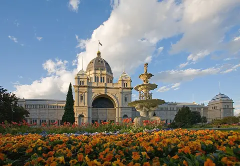 Historic sites01
Royal Exhibition Building
9 Nicholson St · Melbourne● Website● Phone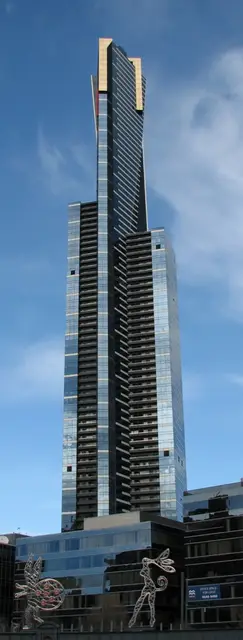 Historic sites02
Eureka Tower
7 Riverside Quay · Melbourne● Website● Phone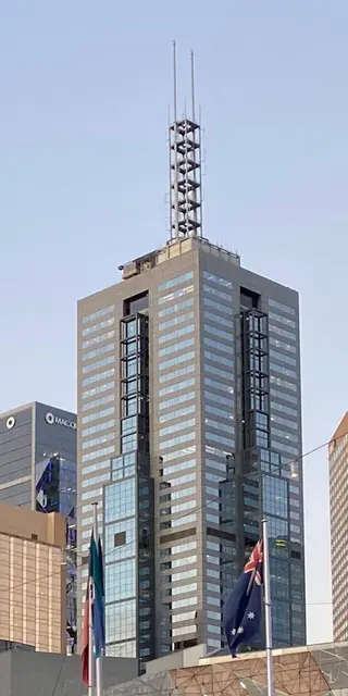 Historic sites03
101 Collins Street
101 Collins St · Melbourne● Website● Phone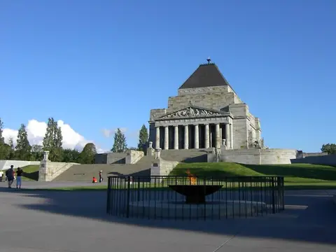 Monuments04
You need a free account to leave reviews and photos – that keeps comments genuine and lets you edit them later.