An Giang: From Phú Quốc to the Mountains of Châu Đốc
Travel guide · editorialSince the 2025 territorial reorganization, An Giang Province stretches from the Mekong on the Cambodian border to the islands in the Gulf of Thailand. A vacation in An Giang can therefore combine pilgrimage mountains, floating villages, and Khmer pagodas with palm-fringed beaches on Phú Quốc.
Delta, Mountains, and Islands
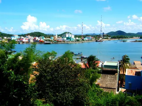
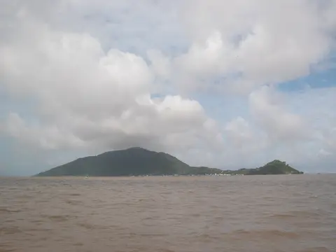
The new province was formed from the old An Giang and Kiên Giang, and its administrative seat is the coastal city of Rạch Giá. In the east, the two main arms of the Mekong, the Tiền and the Hậu, flow into the country from Cambodia; Long Xuyên and Châu Đốc lie along them. To the west, the Seven Mountains, Thất Sơn, rise abruptly, granite domes jutting out of the flat rice plain. Toward the coast, mangroves, fishing harbors, and canals follow. Offshore lie Phú Quốc, Vietnam's largest island, and smaller archipelagos such as Nam Du and Hòn Sơn. Many Khmer, Cham, and Chinese people live here alongside the Vietnamese majority.
Phú Quốc: The Island in the Gulf
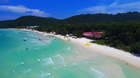
Phú Quốc is around 31 miles (50 km) long and lies closer to Cambodia than to the Vietnamese mainland. The west coast with Long Beach is known for its sunsets, and in the northeast there is a national park with rainforest. In the south, one of the longest cable cars in the world runs over the sea to Hòn Thơm Island, while in the north a safari park and amusement complexes draw visitors. The fishing villages of Hàm Ninh and Gành Dầu are quieter, as is Sao Beach with its fine white sand. The former Cây Dừa prison recalls the war years. The island is known for fish sauce and black pepper, which you can sample at small family-run producers. Visitors who fly in directly from abroad can stay on Phú Quốc visa-free for up to 30 days.
Sights in Mainland An Giang
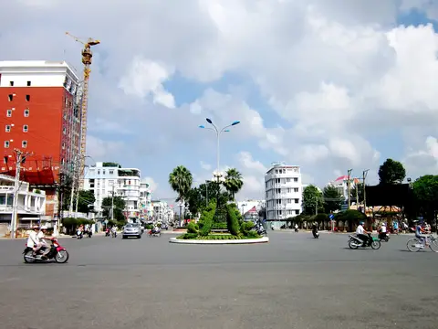
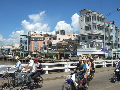
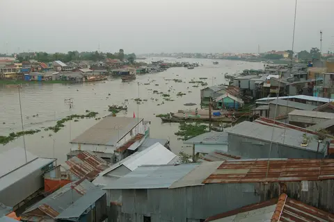
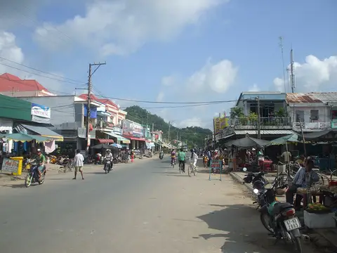
Châu Đốc, a border town on the Hậu River, is the religious center of the delta. At the foot of Sam Mountain stands the temple of Bà Chúa Xứ, a protector goddess, whose festival in the fourth lunar month draws hundreds of thousands of pilgrims. Floating houses with fish farms beneath them sit on the river, and mosques stand in the Cham villages on the other side. To the south, the Trà Sư mangrove and melaleuca forest protects a green watery landscape that you cross by rowboat beneath carpets of duckweed. Khmer people live in Tri Tôn and Tịnh Biên, where their pagodas with golden roofs stand among sugar palms; in autumn, ox-cart races are held here. Hà Tiên on the coast is a small town with rock caves, the temple of the Mạc family, and views of Cambodia. Rạch Giá itself is more of a port and administrative city; the ferries to the islands depart from here.
Food and Drink
Typical of the region are bún cá Châu Đốc, a fish noodle soup with turmeric, and mắm, fermented fish, which is sold in dozens of varieties at the market in Châu Đốc. The Khmer make sweet cakes and palm sugar from sugar palms. On Phú Quốc, grilled sea urchin, squid, and gỏi cá trích, a salad of raw herring with shredded coconut, are part of every beach meal.
Getting There and Best Time to Visit
Phú Quốc (PQC) has an international airport with direct flights, some from Europe; Rạch Giá is served by flights from Saigon. Speedboats connect Rạch Giá and Hà Tiên with Phú Quốc. From Saigon to Châu Đốc, the bus ride takes about six hours, and from Châu Đốc boats run on the Mekong to Phnom Penh. The best time to visit is between November and April. In late summer and autumn the Mekong rises and parts of the fields are flooded, which is charming but rainy.