South Dakota: Black Hills, Badlands, and Wide-Open Prairie
Travel guide · editorialFour stone presidential faces are the state's best-known image, but if you vacation in South Dakota, you'll discover above all endless grassland horizons, deeply furrowed eroded landscapes, and the dark, forested Black Hills. The Missouri River divides the state into the agricultural east and the wilder "West River" country.
Between Prairie and Black Hills
East of the Missouri, cornfields, soybean fields, small lakes, and grain silos define the scenery. To the west, the land grows drier and rougher: shortgrass prairie, bison herds, and finally the Black Hills, a low mountain range of granite and pine forest that remains sacred to the Lakota to this day. In between lie the Badlands, whose striped rock spires and canyons glow red, ochre, and violet in the evening light. The national park of the same name is also one of the richest fossil sites in North America.
Sights in South Dakota
Mount Rushmore National Memorial near Keystone shows Washington, Jefferson, Theodore Roosevelt, and Lincoln, carved between 1927 and 1941. Just a few miles away, the Crazy Horse Memorial, a still-unfinished monumental sculpture of the Lakota leader, has been taking shape since 1948. In Custer State Park, around 1,300 bison graze; the Needles Highway winds through narrow granite tunnels. Underground, Wind Cave and Jewel Cave impress as two of the longest cave systems in the world. In the east, the Corn Palace in Mitchell is worth a visit; its facade is redesigned with corn cobs every year.
Cities and Towns
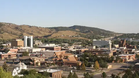
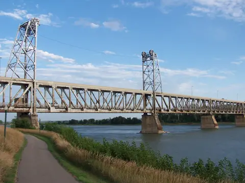
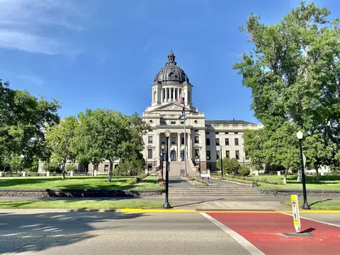
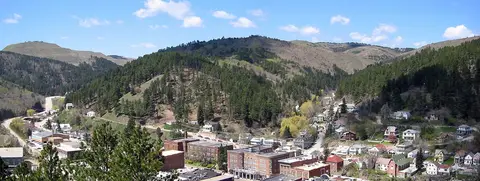
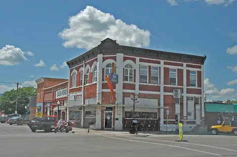
Sioux Falls is the largest city, with its waterfalls on the Big Sioux River, a lively downtown, and the "SculptureWalk" sculpture trail. Rapid City serves as the gateway to the Black Hills; on every corner of the downtown area stands a bronze statue of a U.S. president. The small capital, Pierre, sits on the Missouri, while Deadwood recalls Wild Bill Hickok and Calamity Jane with its restored saloons. Every August, the Sturgis Motorcycle Rally turns the small town of Sturgis into a gathering place for hundreds of thousands of bikers. Aberdeen, Watertown, Yankton, and Brookings are quiet country towns in the east. In Yankton, the protected stretch of the Missouri National Recreational River begins, ideal for canoeing, and in Mitchell, the Prehistoric Indian Village displays excavations of a settlement about a thousand years old.
Culture and Cuisine
Nine reservations of the Lakota, Dakota, and Nakota shape the state's culture; powwows with dancing and drumming take place mainly in summer. On the plate you'll find bison burgers, fry bread, and Indian tacos, along with chislic, cubed, grilled, or deep-fried lamb or beef that is considered the state's unofficial national dish. In the east, "kuchen," a filled yeast pastry in the German-Russian tradition and the official state dessert, bears witness to the immigrants of the 19th century.
Getting There and Best Time to Visit
International visitors usually fly via Denver, Minneapolis, or Chicago to Sioux Falls or Rapid City. Interstate 90 crosses the state from east to west and connects most South Dakota destinations; without a rental car, you'll hardly get anywhere. The best time to visit is between May and September, when all roads in the Black Hills are open. July and August are hot and busy, while fall offers special moments with golden aspens and the bison roundup in Custer State Park at the end of September. Winters are long, snowy, and bitterly cold. If you have time, combine the Black Hills with nearby Devils Tower in Wyoming or Theodore Roosevelt National Park in North Dakota.