About Leeds Inner Ring Road
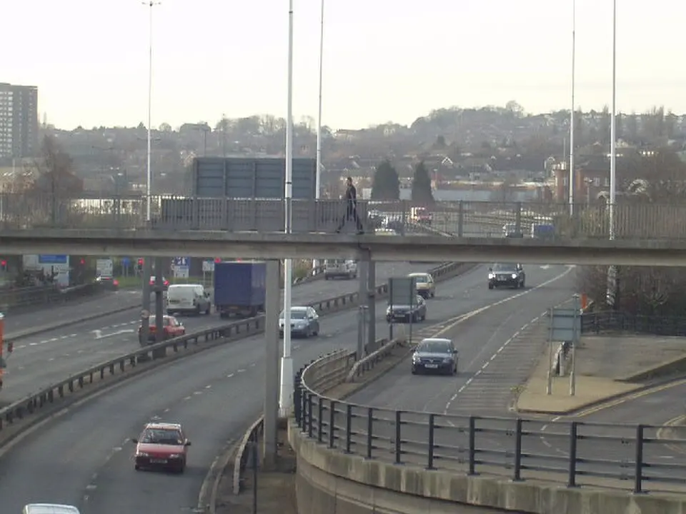
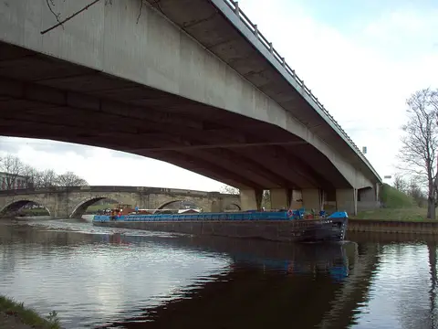
The Leeds Inner Ring Road is a major thoroughfare in West Yorkshire that encircles the center of Leeds. It consists of a mix of motorway sections and local roads that link several longer routes, including the A58, A64, A61, and A643. The northern part forms a semicircle and is classified as a motorway, which keeps out pedestrians and certain types of vehicles. Although it is officially a motorway, it falls short of modern standards: it has no hard shoulders and has unconventional exits. The route runs through a cutting secured by a concrete wall and passes beneath Leeds General Infirmary in a tunnel. Construction of the road began in the 1960s to keep heavy through traffic from Liverpool, Manchester, Bradford, and Hull out of the center. Building it required the demolition of numerous buildings and took place in several phases, with the final section, including a large bridge, not completed until 2008. Today the ring road serves as a crucial bypass that relieves traffic in the city center and connects various districts such as Woodhouse and Sheepscar.
At a glance
- Category
- Sight › Historic sites
- Rating
- no reviews yet · write a review
- Address
- —
Leeds, United Kingdom - District
- Leeds
- Phone
- —
- Website
- —
- —
- Coordinates
- 53.80090° N · -1.55480° E
- Data quality
- confidence 0.83
- Identifier
- ID 8b926bec-969…
Location & surroundings
Toggle layersRatings & comments
none yetNear Leeds Inner Ring Road
closest 5 per category · 2 kmSights
Museums
Hotels
More:Historic sites in Leeds (142)Sights in Leeds (145)All sights in Leeds (155)
249 places within 2 km loaded.

You need a free account to leave reviews and photos – that keeps comments genuine and lets you edit them later.