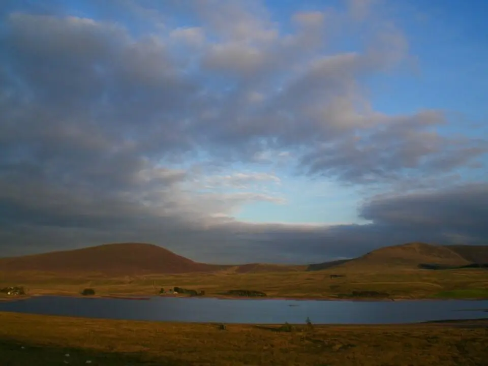
About Cauldstane Slap
Cauldstane Slap is a historic pass across the Pentland Hills in Scotland, marking the boundary between West Lothian and the Scottish Borders. At an elevation of 441 meters (about 1,450 feet), it connects the summits of West Cairn Hill and East Cairn Hill. The roughly 8-kilometer (5-mile) route runs south-southeast from Harperrig Reservoir near Livingston to Baddinsgill Reservoir and finally ends at West Linton. The path was originally used for the cattle trade, with up to 150,000 animals driven along it each year, which also made it attractive to robbers. Today it is known as a hiking trail, and it was also used by the Covenanters of the 17th century for secret meetings.
At a glance
- Category
- Sight › Historic sites
- Rating
- no reviews yet · write a review
- Address
- —
Edinburgh, United Kingdom - Phone
- —
- Website
- —
- —
- Coordinates
- 55.81472° N · -3.40934° E
- Data quality
- confidence 0.81
- Identifier
- ID 5d3ac137-2b7…
Location & surroundings
Toggle layersRatings & comments
none yetNear Cauldstane Slap
closest 5 per category · 2 kmRestaurants
None within 2 km.
Museums
None within 2 km.
Hotels
None within 2 km.
Cocktail bars
None within 2 km.
More:Historic sites in Edinburgh (297)All sights in Edinburgh (363)
2 places within 2 km loaded.


You need a free account to leave reviews and photos – that keeps comments genuine and lets you edit them later.