About Aschbach (Glatt)
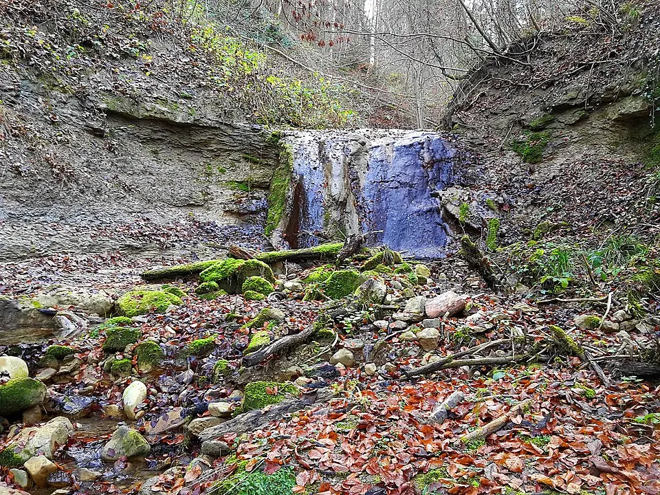
The Aschbach is a stream about three kilometers long in the Zürcher Unterland, flowing into Lake Greifensee in the municipality of Maur. Its source lies at 707 meters above sea level on the northern slope of the Wassberg, a mountain on the eastern flank of the Pfannenstiel range. The stream first runs through the Wassbergholz forest, where it carves a small ravine, before turning northeast. Along its course, the Aschbach passes through a variety of landscapes, including farmland such as the Grabenwis and the Bänkelsteg, where parts of the stream have been piped underground. A particular highlight is the Bänkeltobel in the Murholz forest, where the stream has exposed the molasse rock and tumbles over several small waterfalls. A bridge spans the stream at this spot, connecting the wooded areas on either side. After flowing through the Murholz and a short strip of woodland, the stream reaches the hamlet of Aschbach. There it passes under the Fällanden–Maur road, runs briefly through a channel, and finally empties into the northwestern part of Lake Greifensee at 435 meters above sea level. The catchment area covers 1.05 square kilometers and consists mainly of forest and farmland.
At a glance
- Category
- Sight › Historic sites
- Rating
- no reviews yet · write a review
- Address
- —
Zurich, Switzerland - Phone
- —
- Website
- —
- —
- Coordinates
- 47.35374° N · 8.66390° E
- Data quality
- confidence 0.80
- Identifier
- ID cf441b30-797…
Location & surroundings
Toggle layersRatings & comments
none yetNear Aschbach (Glatt)
closest 5 per category · 2 kmSights
Restaurants
Museums
Hotels
None within 2 km.
Cocktail bars
None within 2 km.
More:Historic sites in Zurich (149)All sights in Zurich (169)
21 places within 2 km loaded.

You need a free account to leave reviews and photos – that keeps comments genuine and lets you edit them later.