San Bartolomé de Tirajana: Dunes, Beaches and Mountain Villages
Travel guide · editorialFew people know the name San Bartolomé de Tirajana, but almost everyone knows its towns: Maspalomas, Playa del Inglés and San Agustín all lie within this municipality in the south of Gran Canaria. With Sahara-like dunes on the coast and a quiet mountain village at nearly 900 meters (about 2,950 feet) above sea level, you can experience a vacation on Gran Canaria in all its variety here. The sun shines as reliably as almost anywhere in Europe.
The Dunes of Maspalomas
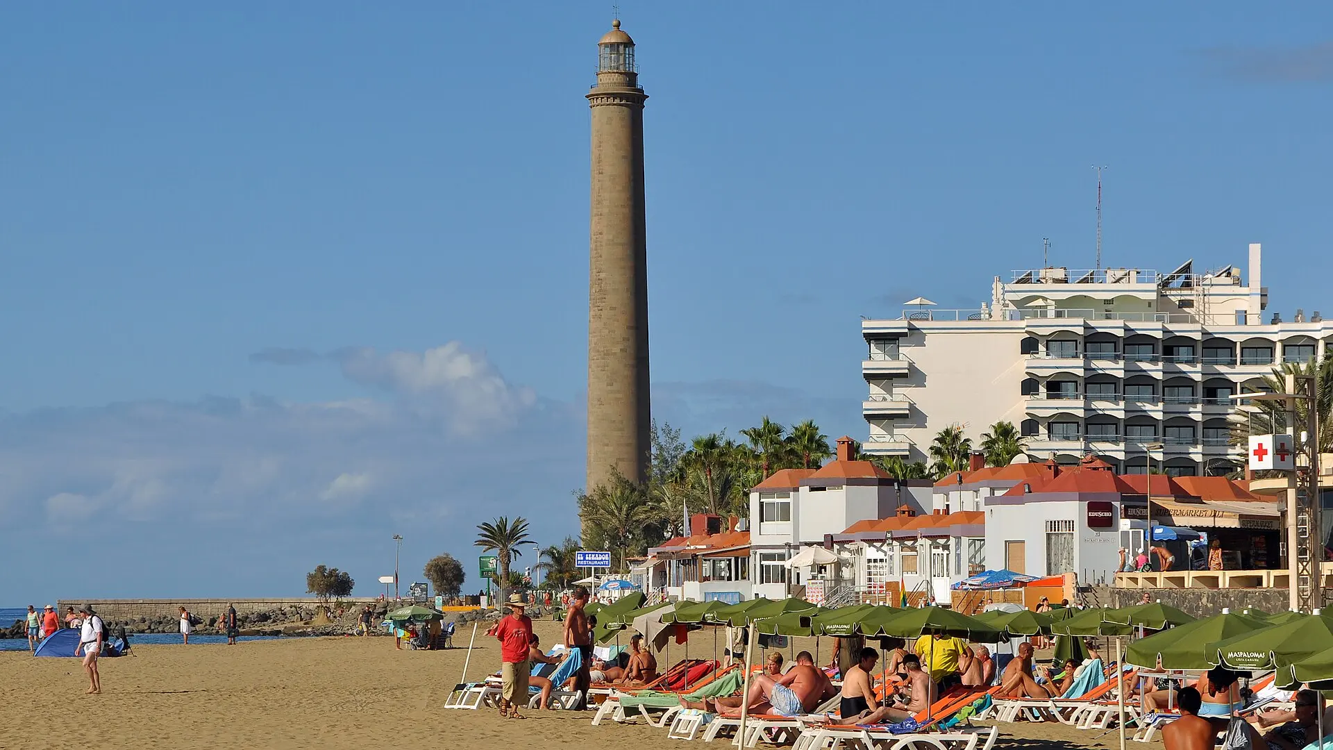
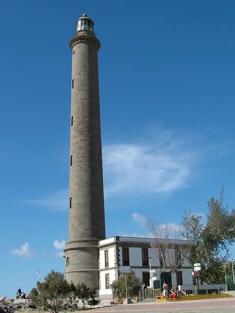
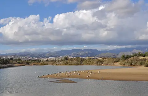
The municipality's best-known natural wonder is the Dunas de Maspalomas, a protected dune field of around 400 hectares (about 990 acres). Over thousands of years, the sea washed up the fine sand, and the wind shaped it into constantly shifting waves. If you walk through the dunes early in the morning or late in the afternoon, you'll experience light and shadow as in the desert; marked trails protect the fragile vegetation. At the edge lies the Charca, a lagoon where migratory birds rest, and next to it stands the 56-meter-tall (184-foot) Faro de Maspalomas lighthouse from the late 19th century, now surrounded by a promenade with restaurants and shops.
Beaches and Resort Towns
Playa del Inglés is the tourist hub, with large hotel complexes, shopping centers and a wide sandy beach that blends almost seamlessly into the one at Maspalomas. Farther east, San Agustín is quieter and popular with families and regular visitors, with smaller coves. Part of the beach near the dunes is known as a nudist area. To the west, Meloneras borders the area with upscale hotels and a golf course. For water sports fans, there are surf schools, diving centers and boat trips for dolphin and whale watching, since various whale species live off the coast year-round.
The Interior: Tunte and the Tirajana Valley
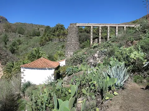
The municipality's seat of government isn't on the coast but high in the mountains: Tunte, as the village of San Bartolomé de Tirajana is also called, nestles in the huge erosion basin of Tirajana. Cherries, almonds and other fruit are grown here, and the cherries are made into a well-known liqueur called Guindilla. The old church and quiet lanes form a stark contrast to the hotel complexes down by the sea. From here, hiking trails lead to Roque Nublo, the island's landmark, and into the pine forests of the central massif. In the Barranco de Fataga, the "Valley of a Thousand Palms," you'll find old villages and camel stations.
Food and Nightlife
International cuisine dominates along the coast, but Canarian specialties are worth seeking out: papas arrugadas with mojo, gofio, grilled fish and goat cheese from the mountains. In the interior, simple inns serve stews and meat dishes at moderate prices. Nightlife is concentrated in Playa del Inglés, especially the Yumbo Centre, one of Europe's best-known LGBTQ+ nightlife hubs. Maspalomas Pride takes place here in May, and a large carnival is celebrated in winter.
Getting Around and Best Time to Visit
From Gran Canaria Airport (LPA) on the east side of the island, buses take about 30 to 40 minutes to reach the resort towns. Global buses also connect the mountain villages and the capital, Las Palmas, but for trips into the interior a rental car is still the better choice. There's no best time to visit in the classic sense: the south is sunny year-round, with winter temperatures usually a good 20 degrees Celsius (about 68°F) and summer temperatures rarely far above 30 (86°F). Occasionally, the calima, a wind from the Sahara, brings dust and heat.