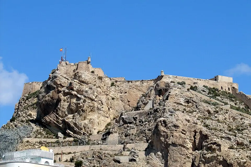
About Castello De Barbera
Castillo de Santa Bárbara sits atop the 166-meter-high Mount Benacantil in the center of Alicante and is one of the largest castle complexes in Europe by area. Its strategic position right on the sea made the site an important place from the Bronze Age onward, and traces of Iberians, Romans, and Moors have been found here. The castle dates back to the 9th century, when the Moors recognized the importance of the location. Today the complex is divided into three parts: La Torreta, the oldest and highest section, which was once the Moorish Alcázar; the medieval bulwark Baluarte de los Ingleses, dating from the 11th to 13th centuries; and the most recent section, Revellín del Bon Repós, from the 18th century.
The fortress takes its name from the liberation from Moorish occupation on December 4, 1248, by Alfonso X of Castile, the feast day of Saint Barbara. A famous legend links the castle to the silhouette of the mountain known as the Moor's Face. It tells of the tragic love between Princess Cántara and the young Aly, which ended in suicide and supposedly gave the city of Alicante its name. This icon of the city is easy to spot from the beach and the harbor.
Visitors can reach the complex via steep stairs and ramps from the old town, which takes about 30 minutes to climb, or use an elevator inside the mountain or an access road on the back side. La Ereta Park leads from the castle down into the old town. In the summer months, the entrances stay open until late in the evening.
At a glance
- Category
- Sight › Monuments
- Rating
- no reviews yet · write a review
- Address
- 03002
Alicante, Spain - District
- Sant Antoni
- Phone
- —
- Website
- —
- —
- Coordinates
- 38.34829° N · -0.47936° E
- Data quality
- confidence 0.89
- Identifier
- ID 42c9cfc0-7f3…
Location & surroundings
Toggle layersFAQ about Castello De Barbera
quick answersWhat is the Castillo de Santa Bárbara in Alicante?
The Castillo de Santa Bárbara (also listed in our database as Castello De Barbera) is a fortress on Mount Benacantil, which rises 166 meters (545 feet) above the center of Alicante, Spain. It is one of the largest castle complexes in Europe by area. Construction dates back to the 9th century, when the Moors recognized the strategic value of its location right on the sea. Traces of Iberians, Romans, and Moors have also been found on the mountain, and the castle is clearly visible from the beach and the harbor.
Which areas of the Castillo de Santa Bárbara in Alicante can you visit?
The Castillo de Santa Bárbara in Alicante is divided into three sections from different eras. The oldest and highest part is La Torreta, once the Moorish alcázar. Below it lies the medieval bulwark Baluarte de los Ingleses, dating from the 11th to 13th centuries, and the youngest section is the Revellín del Bon Repós from the 18th century.
How did the Castillo de Santa Bárbara in Alicante get its name?
The name of the Castillo de Santa Bárbara in Alicante commemorates the liberation from Moorish occupation on December 4, 1248, by Alfonso X of Castile, which is the feast day of Saint Barbara. The castle is also tied to the legend of the silhouette of Mount Benacantil, the so-called Moor's Face (Cara del Moro). It tells the tragic love story of Princess Cántara and the young Aly and is said to explain the origin of the city's name, Alicante.
How do you get up to the Castillo de Santa Bárbara in Alicante?
You can reach the Castillo de Santa Bárbara in Alicante on foot, by elevator, or by road. The footpath leads up steep stairs and ramps from the old town and takes about 30 minutes; alternatively, there is an elevator inside the mountain and an access road on the back side of the hill. For the way back, La Ereta Park leads down from the castle into the old town. The entrances stay open until late in the evening during the summer months; however, hours may change.
What can you see around the Castillo de Santa Bárbara in Alicante?
Around the Castillo de Santa Bárbara in Alicante, several museums and historic sites lie less than 300 meters (about 1,000 feet) away. These include the Museo de Aguas de Alicante (about 190 meters), the Museo Arte Contemporaneo (about 230 meters), Lucentum Ciudad Ibero Romana (about 280 meters), and the city gate Puerta Ferrisa (about 290 meters). For a break, travelguide195 lists around 166 restaurants within 500 meters.
Ratings & comments
none yetNear Castello De Barbera
closest 5 per category · 2 kmSights
Restaurants
Museums
Hotels
More:All sights in Alicante (69)
229 places within 2 km loaded.
Don't miss in Alicante
All sights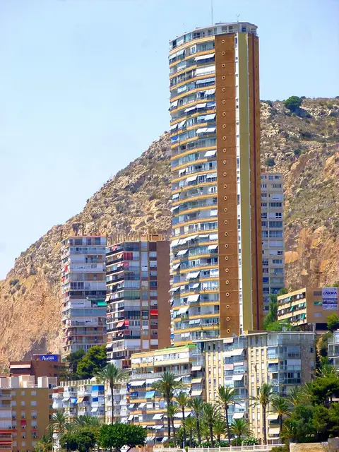 Historic sites01
El Barco, Alicante
No address · Alicante● Website○ Phone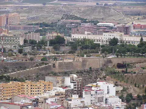 Forts02
Castillo de San Fernando
Mont Tossal · Alicante○ Website● Phone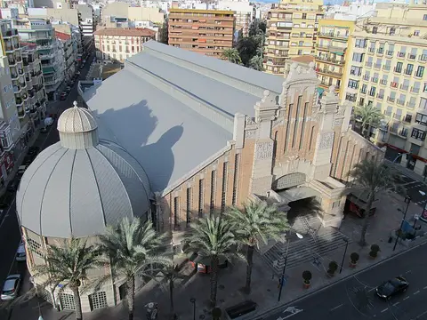 Historic sites03
Mercado Central de Alicante
Av. Alfonso El Sabio, nº 10 · Alicante● Website● Phone Monuments04
You need a free account to leave reviews and photos – that keeps comments genuine and lets you edit them later.
On top of Mount Benacantil at a height of 166 metres, there is one of the largest medieval fortresses in Spain, built in the ninth century by Muslims. An amazing view of town and harbour. If you feel fit, the walk from Plaza de Carmen is a sight in itself, through some narrow winding streets. The castle can also be reached by car, but parking slots are scarce.
Source: Wikivoyage, „Alicante“ · authors per page history · CC BY-SA 4.0 · as of 5/2/2016