Neighborhood · Level 4
Federal
111 places in this neighborhood – the top sights and a map of the area.
- City
- Mexico City
- Location
- 19.4206° N · -99.0889° E
- Page from
- 150 places
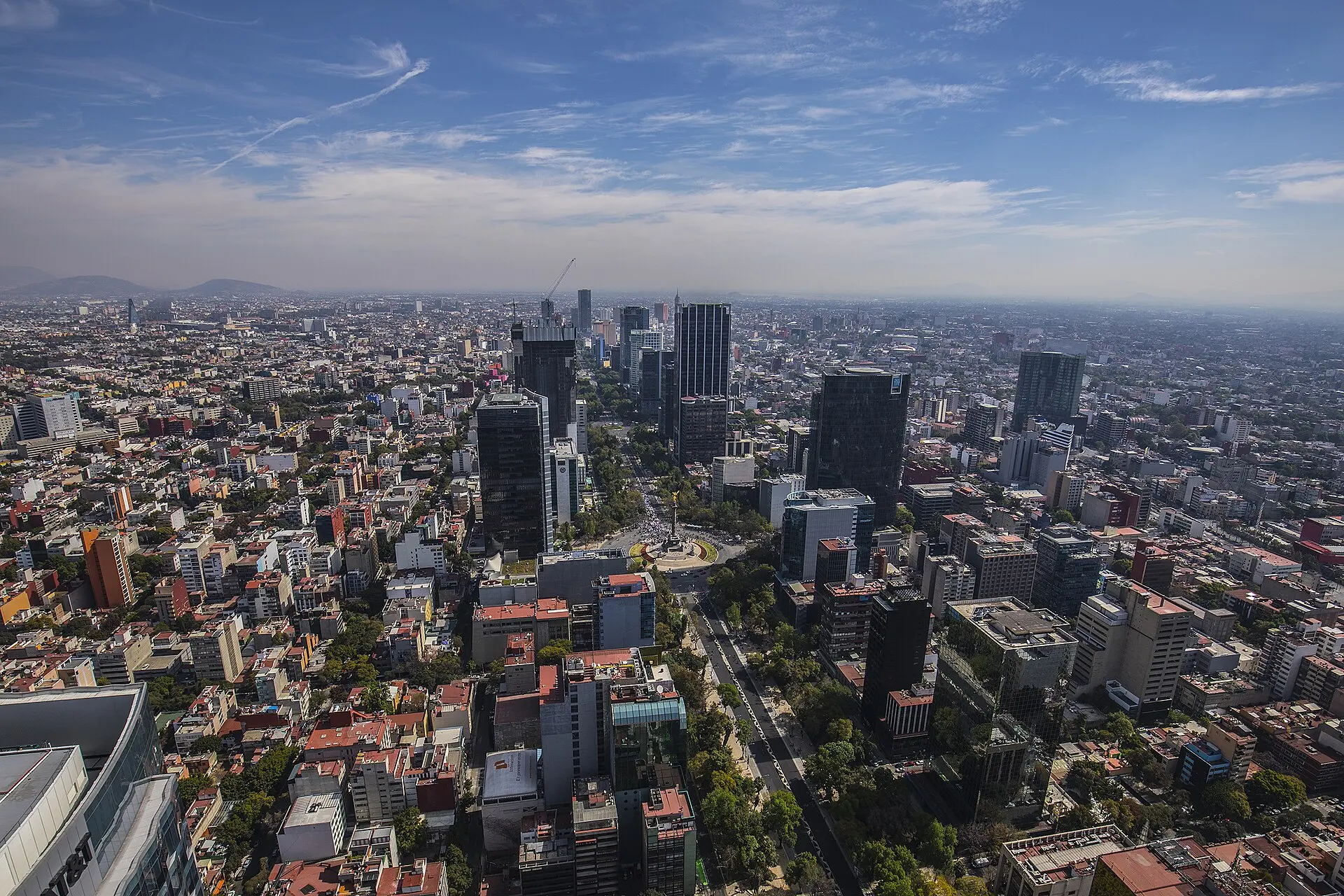
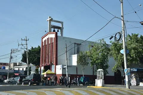
Map of Federal
More neighborhoods in Mexico City
- 01Centro1,811
- 02Roma Norte1,353
- 03Juárez538
- 04Hipódromo487
- 05Cuauhtémoc479
- 06Santa María la Ribera360
- 07Roma Sur354
- 08Narvarte Oriente343
- 09Doctores329
- 10Narvarte Poniente315
- 11Guerrero304
- 12Zona Rosa287
- 13San Rafael285
- 14Polanco 5ª Sección283
- 15Tabacalera259
- 16Moctezuma 2ª Sección255
- 17Santa Fe Cuajimalpa248
- 18Obrera222
- 19Jardín Balbuena219
- 20Condesa204