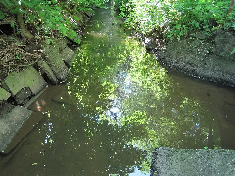
About Flehbach
The Flehbach is a stream just under seventeen kilometers (about 10.5 miles) long in North Rhine-Westphalia that flows into the Rhine as a right-bank tributary. Its headwaters lie on the northwestern slope of the Tütberg within the city limits of Bergisch Gladbach, where several small streams come together. Along its course, the stream at times forms the boundary between Bergisch Gladbach and Cologne before merging with the Bruchbach in Köln-Merheim and flowing into the Rhine through a pipe as the Faulbach. Historically, the stream powered several watermills, of which only the millpond of the Erkermühle and a few street names remain today. Because of its dramatic swings between flooding and drying up, its course was artificially regulated in the early nineteenth century to prevent flooding in the Mülheim section of the Rhine plain.
At a glance
- Category
- Sight › Historic sites
- Rating
- no reviews yet · write a review
- Address
- —
Cologne, Germany - District
- Mülheim
- Phone
- —
- Website
- —
- —
- Coordinates
- 50.96870° N · 7.00080° E
- Data quality
- confidence 0.82
- Identifier
- ID 901fa7a2-453…
Location & surroundings
Toggle layersRatings & comments
none yetNear Flehbach
closest 5 per category · 2 kmSights
Restaurants
Museums
Hotels
Cocktail bars
None within 2 km.
104 places within 2 km loaded.
You need a free account to leave reviews and photos – that keeps comments genuine and lets you edit them later.