Neighborhood · Level 4
Katastralgemeinde Untertal
43 places in this neighborhood – the top sights and a map of the area.
- City
- Schladming
- Location
- 47.3321° N · 13.7706° E
- Page from
- 150 places
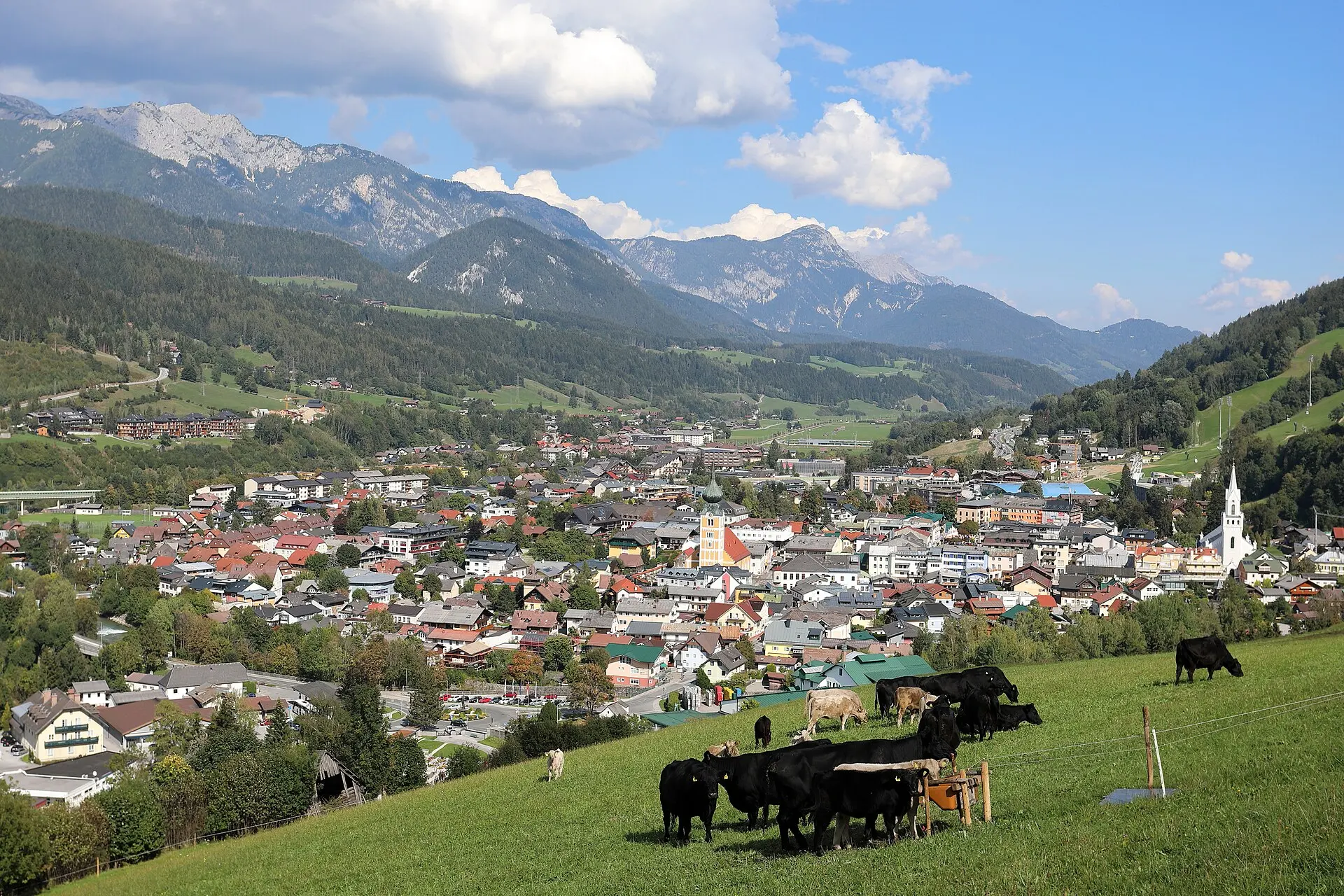
Neighborhood · Level 4
43 places in this neighborhood – the top sights and a map of the area.