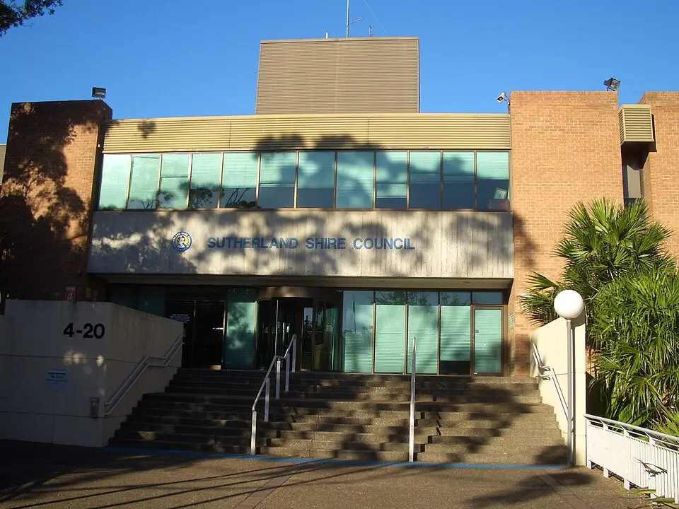
About Sutherland Shire
Sutherland Shire is a local government area in the Australian state of New South Wales and part of the Sydney metropolitan area. Covering roughly 333.6 square kilometers, it lies south of Botany Bay on the city's southeastern edge along the Pacific coast, about 20 to 35 kilometers from the city center. It includes 45 suburbs, among them well-known places such as Cronulla, Miranda, and Bundeena, as well as parts of Royal National Park. The council's seat is in the suburb of Sutherland, to the north. The area is home to about 230,000 residents and is governed by a 15-member council elected by residents of its five designated wards.
Based on the article “Sutherland Shire” from the German Wikipedia, summarized and rephrased by a language modelLicense CC BY-SA 4.0
At a glance
- Category
- Sight › Historic sites
- Rating
- no reviews yet · write a review
- Address
- —
Sydney, Australia - District
- Sutherland
- Phone
- —
- Website
- www.sutherland.nsw.gov.au
- —
- Coordinates
- -34.03333° N · 151.05000° E
- Data quality
- confidence 0.80
- Identifier
- ID 9ace91e6-5d8…
Location & surroundings
Toggle layersRatings & comments
none yetNear Sutherland Shire
closest 5 per category · 2 kmSights
Restaurants
Cocktail bars
None within 2 km.
More:Historic sites in Sydney (1,315)All sights in Sydney (1,401)
56 places within 2 km loaded.
Don't miss in Sydney
All sights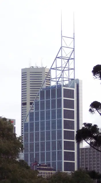 Historic sites01
Deutsche Bank Place
Level 16 Corner of Hunter and, Phillip St · Sydney● Website● Phone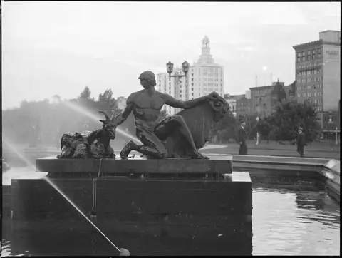 Monuments02
Archibald Fountain
Prince Albert Rd · Sydney● Website● Phone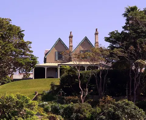 Historic sites03
Kirribilli House
109 Kirribilli Ave · Sydney● Website● Phone Historic sites04
You need a free account to leave reviews and photos – that keeps comments genuine and lets you edit them later.