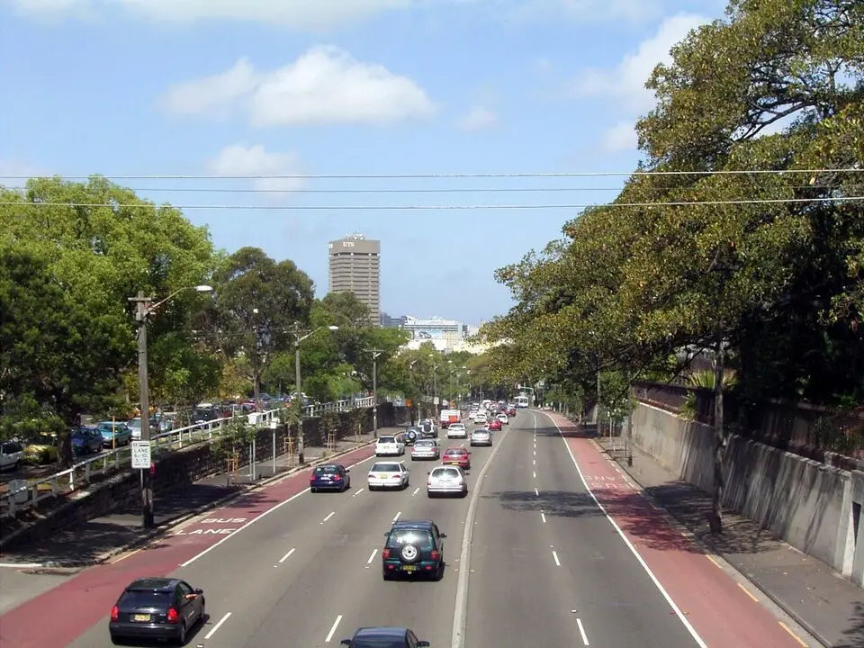
About Parramatta Road
Parramatta Road is one of the oldest and most historically significant thoroughfares in Sydney, connecting the city center with the suburb of Parramatta. As the eastern section of the Great Western Highway, it stretches for 23 kilometers and forms the boundary between several neighborhoods in the Inner West and the northern suburbs. Its history dates back to 1792, when a track was laid out between the two settlements; it was officially surveyed in 1797 under Surveyor General Augustus Alt. In 1811, the road opened as a toll road, making it one of the first connections between two towns in Australia. In its early years, the route was often unpaved and barely passable after heavy rain, which led to repeated improvements, including paving with stone and the removal of tree stumps.
Over the course of the 19th century, Parramatta Road developed into an important trade route, with hotels and settlements springing up to serve the coach posts. With the opening of the railway line in 1855 and, later, the tram lines, however, the road became less important for passenger travel. In the 20th century, its character changed fundamentally: it was paved with asphalt, the tracks were removed, and it increasingly became the center of the automobile industry. Today, car dealerships and repair shops dominate the scene, with a large share of the adjoining land used for vehicle sales. Despite this economic function, locals often view the road critically. Noise, traffic jams, and a large number of vacant or run-down shops shape its appearance, which has led to mocking comparisons and its reputation as one of Sydney's least attractive commercial zones.
Despite this negative image, Parramatta Road remains an essential part of the city's infrastructure. Since the 1990s, its function has been supplemented by the City West Link and the M4 motorway, with new tunnel sections diverting some of the traffic. Various urban planning strategies, including a 30-year plan from the New South Wales government dating to 2016, aim to revitalize the corridor. These plans include building new housing, creating green spaces, and improving public transit, for example through a proposed electric rail bus line or a light rail connection. The redevelopment remains controversial, however, as residents and local authorities often question the dense development and its impact on existing traffic.
At a glance
- Category
- Sight › Historic sites
- Rating
- no reviews yet · write a review
- Address
- Parramatta Road
Sydney, Australia - District
- Strathfield
- Phone
- —
- Website
- en.wikipedia.org
- info@logicalcoders.com.au
- Coordinates
- -33.86824° N · 151.09903° E
- Data quality
- confidence 0.83
- Identifier
- ID bf26ad8c-664…
Location & surroundings
Toggle layersRatings & comments
none yetNear Parramatta Road
closest 5 per category · 2 kmSights
Restaurants
Museums
Hotels
Cocktail bars
More:Historic sites in Sydney (1,315)All sights in Sydney (1,401)
90 places within 2 km loaded.
Don't miss in Sydney
All sights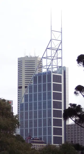 Historic sites01
Deutsche Bank Place
Level 16 Corner of Hunter and, Phillip St · Sydney● Website● Phone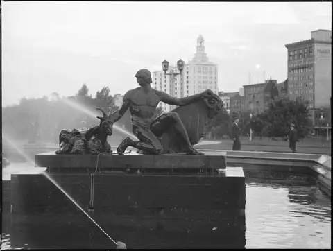 Monuments02
Archibald Fountain
Prince Albert Rd · Sydney● Website● Phone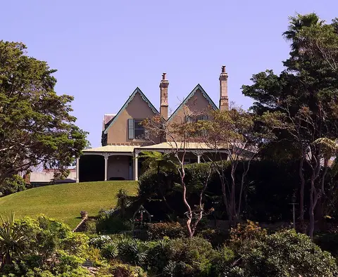 Historic sites03
Kirribilli House
109 Kirribilli Ave · Sydney● Website● Phone Historic sites04
You need a free account to leave reviews and photos – that keeps comments genuine and lets you edit them later.