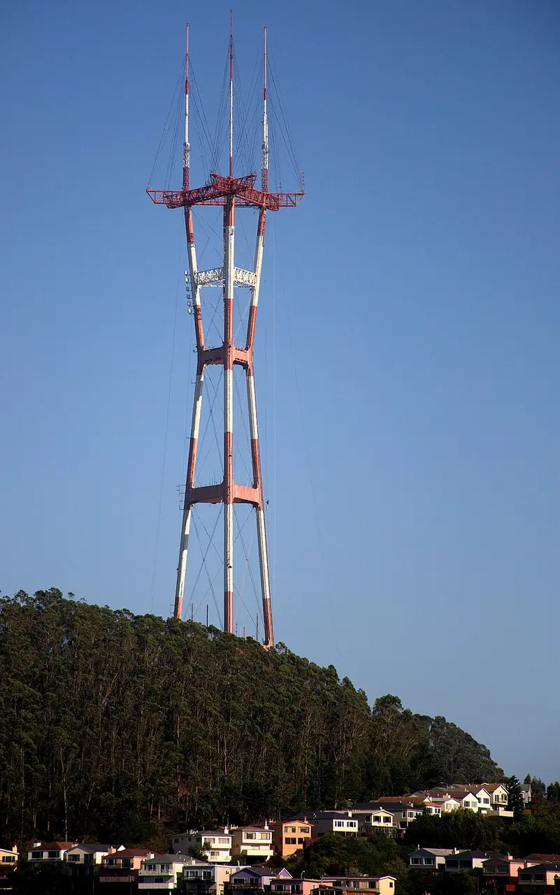
About Sutro Tower
Sutro Tower is a 297.7-meter-tall (977-foot) steel broadcast tower perched atop 254-meter-high (833-foot) Mount Sutro in San Francisco. Named after former mayor Adolph Sutro, the structure was built between 1971 and 1972 and went into operation in 1973. The distinctive design consists of three legs resting on a massive concrete foundation whose center of gravity lies underground, helping it withstand earthquakes. As the second-tallest structure in the city, it rises above the Transamerica Pyramid. Because the tower is closed to the public, it serves solely to transmit radio and television programming as well as other communication services.
At a glance
- Category
- Sight › Historic sites
- Rating
- no reviews yet · write a review
- Address
- 1 La Avanzada St
94131-1124 San Francisco, USA - Phone
- +14156818851
- Website
- justmaps.com
- info@sutrotower.com
- Coordinates
- 37.75524° N · -122.45270° E
- Data quality
- confidence 0.99
- Identifier
- ID 6281ee75-6a9…
Location & surroundings
Toggle layersFAQ about Sutro Tower
quick answersWhat is the Sutro Tower in San Francisco?
The Sutro Tower is a steel broadcasting tower in San Francisco that transmits radio and television programming as well as other communications services. It is named after former mayor Adolph Sutro. The tower was built between 1971 and 1972 and went into operation in 1973.
How tall is the Sutro Tower and how is it built?
The Sutro Tower in San Francisco is 297.7 meters (977 feet) tall, making it the city's second-tallest structure, ahead of the Transamerica Pyramid. The distinctive structure consists of three legs resting on a massive concrete foundation. The center of gravity of this foundation lies below ground so that the tower can withstand earthquakes.
Can you visit the Sutro Tower?
No, the Sutro Tower in San Francisco is not open to the public. It is used exclusively to transmit radio and television programming as well as other communications services. You can, however, view the 297.7-meter-tall steel tower from the surrounding area.
Where is the Sutro Tower located?
The Sutro Tower stands on 254-meter-high Mount Sutro in San Francisco, USA. The address is 1 La Avanzada St. Thanks to its elevated location, the tower is a landmark visible from far and wide in a city of around 874,000 residents.
What can you see around the Sutro Tower?
Within one kilometer of the Sutro Tower in San Francisco, you'll find several historic sites and viewpoints. travelguide195 lists, among others, the Nike Missile Control Site SF-89C about 520 meters away, Noe Peak about 600 meters away, and Twin Peaks about 610 meters away. A bit farther out, you'll find the Portola Drive Lookout about 770 meters away and the geographic center of San Francisco (Geographic center of San Francisco) about 900 meters away.
Ratings & comments
none yetNear Sutro Tower
closest 5 per category · 2 kmSights
Restaurants
Museums
Hotels
More:Historic sites in San Francisco (689)All sights in San Francisco (771)
131 places within 2 km loaded.
Don't miss in San Francisco
All sights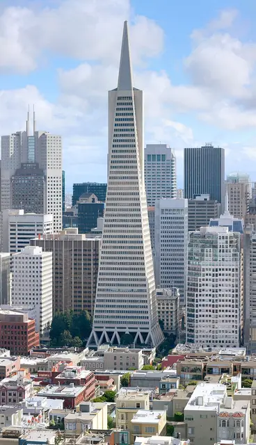 Historic sites01
Transamerica Pyramid
600 Montgomery St · San Francisco● Website○ Phone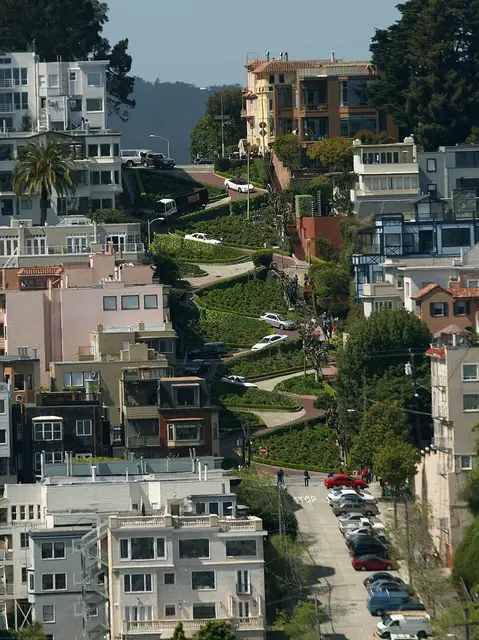 Historic sites02
Lombard Street
Lombard St · San Francisco● Website● Phone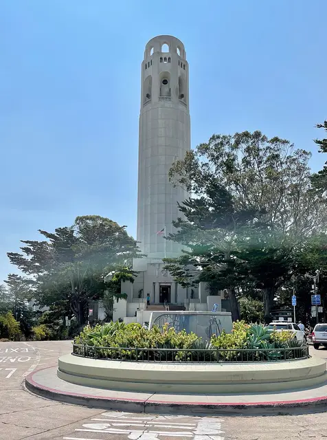 Monuments03
Coit Tower
1 Telegraph Hill Blvd · San Francisco● Website● Phone Historic sites04
You need a free account to leave reviews and photos – that keeps comments genuine and lets you edit them later.
Though not a typical architectural attraction, this tower is nevertheless a well-known landmark among locals. Built in the 1970s to provide television reception to the city's hilly neighborhoods, this three-pronged antenna tower reaches 977 feet into the air atop one of San Francisco's tallest hills and is visible from just about anywhere in the city when it's not shrouded in fog. While the tower itself is off-limits to the public, there are walking trails that get very close to the base of the tower and offer great views of the surrounding neighborhoods.
Source: Wikivoyage, „San Francisco/Twin Peaks-Lake Merced“ · authors per page history · CC BY-SA 4.0 · as of 3/29/2015