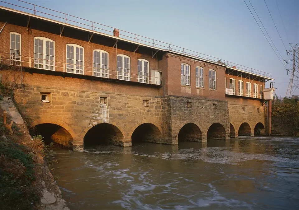
About Columbia Canal
The Columbia Canal in Columbia, South Carolina, is the last surviving relic of a series of canals the state built in the early 19th century to create a direct waterway between the inland settlements and the cities along the Fall Line. Construction began in 1820 and was completed in 1824. The work was done largely by indentured Irish laborers, who followed the course of the river between the Broad River and the Congaree River to bypass the rapids. The canal was first used for navigation but lost importance after railroads were built in the 1840s. During the Civil War, its water power was used to produce gunpowder, and later it drove a variety of mills. Today, the canal generates hydroelectric power for South Carolina Electric & Gas Co.
In 1891, the canal was thoroughly redesigned to serve as an industrial power source. The new, wider and deeper version stretched for several miles and had its own locks and weirs. The site gained particular historical significance through the Columbia Mill, now the South Carolina State Museum, which became the first textile mill in the world to use electric motors powered by alternating current, supplied by a separate power plant on the canal. The Columbia Hydro plant at the southern end of the canal also supplied power to industry, the city, and the streetcar network.
For visitors, the canal is now the main attraction of Riverfront Park in Columbia. The site is listed on the National Register of Historic Places and is documented by the South Carolina Department of Archives and History and the Historic American Engineering Record. A special memorial, the South Carolina Irish Memorial, honors the Irish workers who lost their lives building the canal. Many of them are buried in the nearby cemetery of St. Peter's Catholic Church. After severe flooding in 2015, in which the canal was breached, plans are under way for extensive repairs, which are expected to be completed within the next few years.
At a glance
- Category
- Sight › Historic sites
- Rating
- no reviews yet · write a review
- Address
- 300 Laurel St
29201-2234 Columbia, USA - Phone
- +18037338336
- Website
- pdfhost.focus.nps.gov
- —
- Coordinates
- 34.02083° N · -81.06194° E
- Data quality
- confidence 0.39
- Identifier
- ID 989455f3-07f…
Location & surroundings
Toggle layersRatings & comments
none yetNear Columbia Canal
closest 5 per category · 2 kmSights
Restaurants
Museums
None within 2 km.
Hotels
Cocktail bars
None within 2 km.
More:Historic sites in Columbia (324)All sights in Columbia (345)
48 places within 2 km loaded.
Don't miss in Columbia
All sights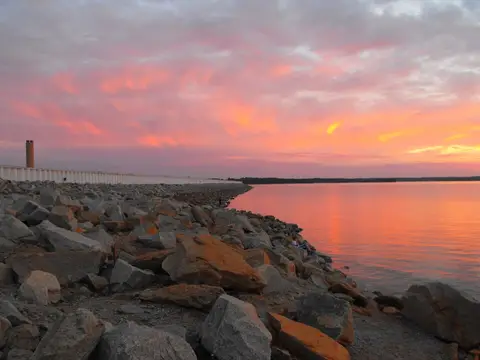 Historic sites01
Saluda Dam
· Columbia○ Website○ Phone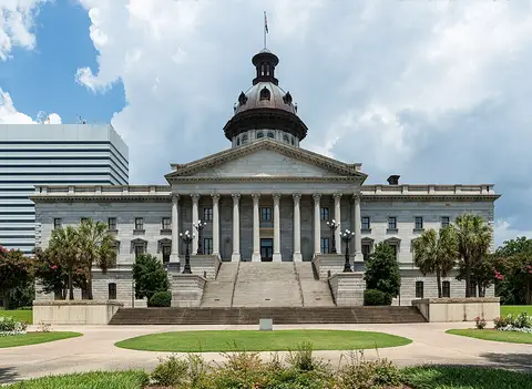 Historic sites02
Capital State House grounds
Main & Gervais, 1221 Main St · Columbia● Website● Phone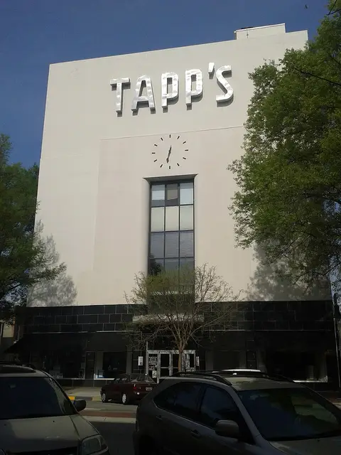 Historic sites03
Main Street Lofts
1644 Main St · Columbia● Website● Phone Monuments04
You need a free account to leave reviews and photos – that keeps comments genuine and lets you edit them later.