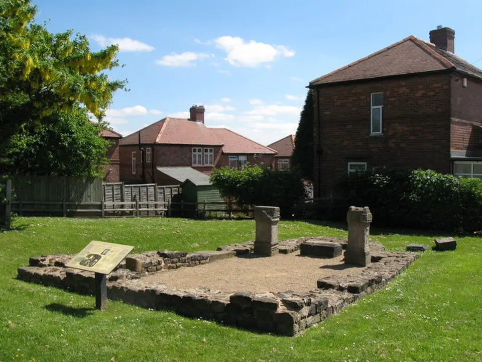
About Condercum
Condercum was a Roman cavalry fort located in what is now the Benwell district of Newcastle upon Tyne. The third in the chain of forts along Hadrian's Wall, it guarded the eastern section of the famous barrier that Emperor Hadrian had built in the 2nd century A.D. to protect the British provinces from raids from the north. The fort was probably in military use from A.D. 122 to 400. Its name derives from Celtic words and means roughly "viewpoint" or "place with a panoramic view," which fits its location on 127-meter-high Benwell Hill, from where you could survey the river valley and the point where the Derwent flows into the Tyne.
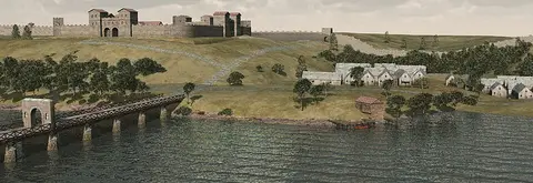
Today, no visible remains of the fort itself or the wall can be seen above ground, as the area is covered by modern development, including houses, a main road, and a water reservoir. Archaeological test excavations have shown, however, that extensive foundations survive just 40 centimeters below the surface. The fort had a square layout with rounded corners and was protected by a perimeter wall, a ditch, and towers. Inside the complex stood typical Roman buildings such as the commander's house, the headquarters, granaries, workshops, barracks for the cavalry troops, a hospital, and stables.
The site is especially well known for the well-preserved ditch crossing in Denhill Park. It consists of a massive stone causeway that was originally spanned by an arch with wooden gates. This construction made it possible to strictly control access to the fort. Next to the fort lay a vicus, a civilian settlement, which included a small bathhouse and an inn for travelers. A highlight for visitors is the Temple of Antenociticus, dedicated to the Celto-British god Antenociticus. A life-size statue of the god and votive altars were found here, pointing to a dedication in the late 2nd century. The finds from Condercum are now on display in the museums of Newcastle.
At a glance
- Category
- Sight › Historic sites
- Rating
- no reviews yet · write a review
- Address
- —
Newcastle upon Tyne, United Kingdom - District
- Newcastle upon Tyne
- Phone
- —
- Website
- —
- —
- Coordinates
- 54.97600° N · -1.66300° E
- Data quality
- confidence 0.82
- Identifier
- ID f24fc654-036…
Location & surroundings
Toggle layersRatings & comments
none yetNear Condercum
closest 5 per category · 2 kmSights
Restaurants
Museums
None within 2 km.
Hotels
Cocktail bars
None within 2 km.
More:Historic sites in Newcastle upon Tyne (91)Sights in Newcastle upon Tyne (83)All sights in Newcastle upon Tyne (109)
98 places within 2 km loaded.
You need a free account to leave reviews and photos – that keeps comments genuine and lets you edit them later.