About Königsbach (Main)
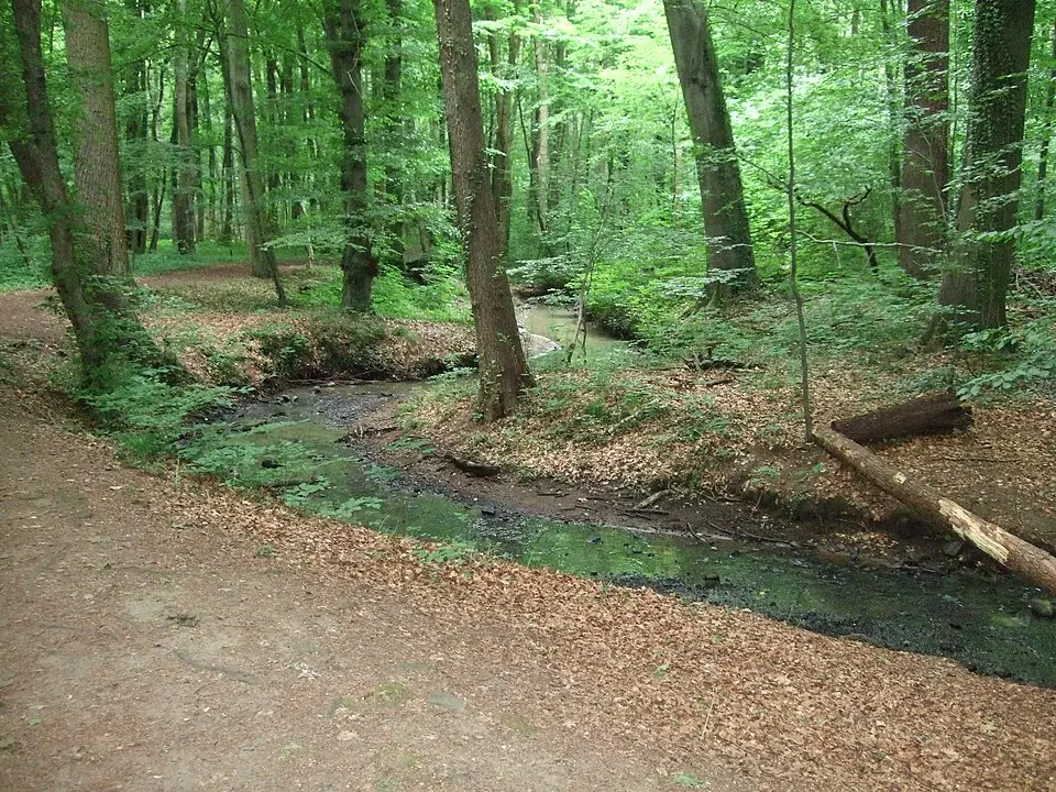
The Königsbach, also known as the Luderbach in its upper reaches, is a roughly 13.7-kilometer-long left tributary of the Main River in Hesse. It rises in the Dreieich area and flows through the nature reserves of Neu-Isenburg before emptying into the Main within the city limits of Frankfurt. The name derives from the historic Dreieich hunting preserve (Wildbann Dreieich), whose northern part the stream crosses. The brook was first mentioned in documents in the 12th century and, depending on the stretch, was also called the Frauenbach or Goldbach. In the 1930s, the stream was dammed in the Frankfurt City Forest to create the city's largest still body of water by area, the Jacobiweiher. The measure served primarily to protect the adjacent residential areas in Sachsenhausen from flooding.
For visitors, the stream offers a varied mix of nature and cultural history. In the Frankfurt City Forest, hikers can walk around the Jacobiweiher, where two striking sculptures by the artist F. K. Waechter stand on the shore. A seasonal restaurant invites you to stop for a break. Farther upstream, the Cleeisches Wäldchen holds a rare floodplain forest dotted with protected plant species such as marsh marigold and moschatel. In Neu-Isenburg, the historic manor house of the former Bansamühle mill, with its Baroque ornamental garden and the neighboring Bansapark, is a popular destination. The stream itself flows there through a protected floodplain landscape, where you can spot the rare dusky large blue butterfly and the fire salamander, among other species.
The mouth of the Königsbach in Frankfurt-Niederrad lies right at the foot of the historic Main-Neckar Bridge. This area is part of the Route of Industrial Heritage and is home to the Licht- und Luftbad Niederrad, which draws people looking to relax with its cafés, playgrounds, and barbecue areas. Here the stream marks the boundary between the districts of Sachsenhausen and Niederrad and runs largely parallel to the railway embankment along this stretch. Along its entire course, signposted hiking trails, such as the Weilruh Nature Trail, invite you to explore the near-natural meadows and forests that shape the stream's surroundings.
At a glance
- Category
- Sight › Historic sites
- Rating
- no reviews yet · write a review
- Address
- —
Frankfurt, Germany - District
- Niederrad
- Phone
- —
- Website
- —
- —
- Coordinates
- 50.09500° N · 8.65410° E
- Data quality
- confidence 0.82
- Identifier
- ID 30c4bcc1-251…
Location & surroundings
Toggle layersRatings & comments
none yetNear Königsbach (Main)
closest 5 per category · 2 kmRestaurants
Museums
Hotels
More:Historic sites in Frankfurt (155)All sights in Frankfurt (198)
180 places within 2 km loaded.
Don't miss in Frankfurt
All sights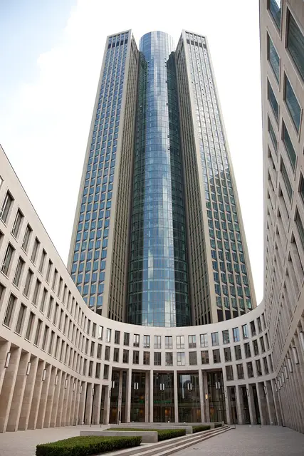 Historic sites01
Tower 185
Friedrich-Ebert-Anlage 35 · Frankfurt● Website● Phone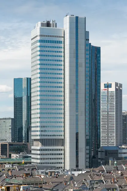 Historic sites02
Silberturm
Silver Tower, Jürgen-Ponto-Platz 1 · Frankfurt● Website● Phone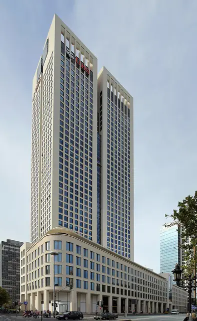 Historic sites03
OpernTurm
Bockenheimer Landstraße 2 · Frankfurt● Website● Phone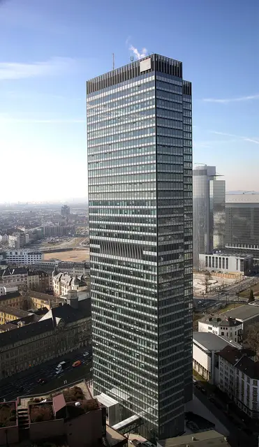 Historic sites04
You need a free account to leave reviews and photos – that keeps comments genuine and lets you edit them later.